

| 3-day forecast 10-day forecast | Smoke forecast | Avy forecast | |||
| Photo | Trail Name | Hike Date | Trail Status | Comment | Submitted By |
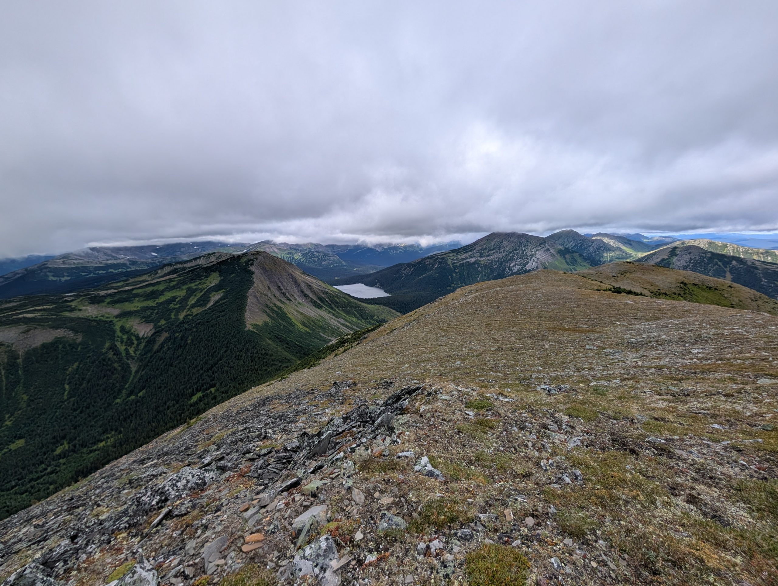
 | Howling Wolves Peak near Chetwynd BC | 2026-Aug-29 | Dry | Trail was dry and easy to follow, we had high winds and cloud but they eventually cleared up and we had a great hike! | Mark Vejvoda |
Description:
Howling Wolves Peak is located in the mountains east of the Hassler Forest Service Road south of Chetwynd, BC. This is not a developed trail and may require route finding for sections of the hike. The route follows an old mining exploration road for 2.8km marked with some orange flagging tape. Turn right up a steep hill to reach the ridge. Once on the ridge, Howling Wolves Peak dominates the left, while Mt Goodrich lies to your right. Follow the ridge to the summit, marked with a cairn.
For up-to-date information, visit the Chetwynd Outdoors Society page: here
Difficulty level: Moderate to Strenuous
Directions to the Trail: here
If you need a GPX track for offline use, as there is spotty cell service in this region, this link is for the drive from Hassler FSR to the Trailhead: here
Stats:
Distance: 14.53 km
Elevation Gain: 867 m
Elevation Loss: 867 m
Elevation Max: 1,997 m
Elevation Min: 1,467 m
History:
Comming soon..
Photos:


Videos:
August 2026: