
| 3-day forecast 10-day forecast | Smoke forecast | Avy forecast | |||
| Photo | Trail Name | Hike Date | Trail Status | Comment | Submitted By |
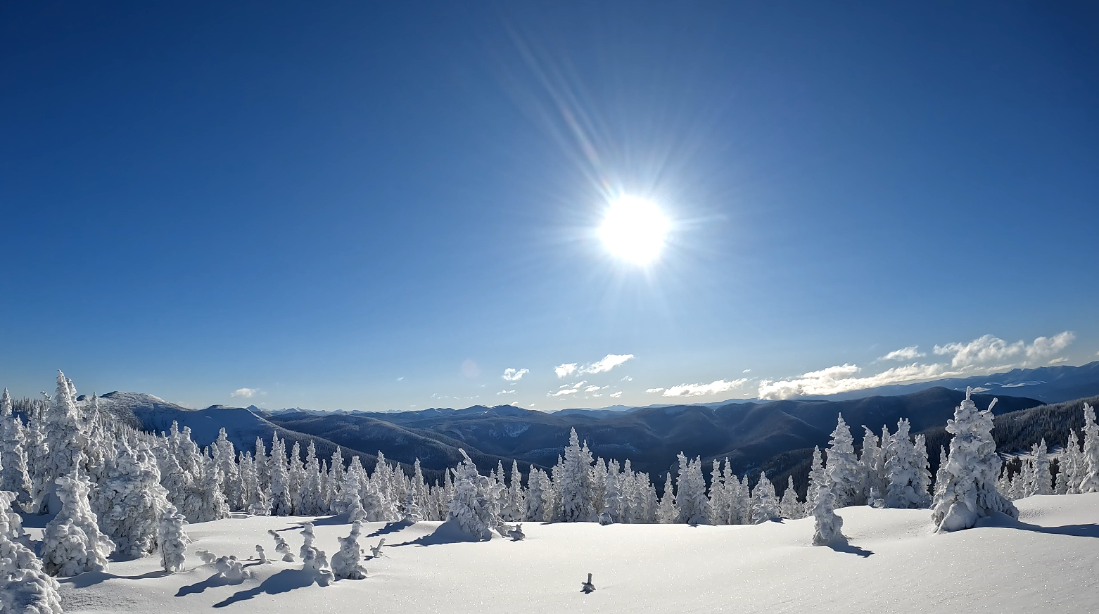
 | Viking Ridge to Sugarbowl Mt crossover in Northern BC | 2026-Apr-11 | Variable | Viking Ridge is icy for the first 1.5 km, Sugarbowl is terrible for its first 2 km, both require microspikes or snowshoes to grip on the ice, Sugarbowl is especially treacherous! | Mark Vejvoda |
Description:
This trail is about a 1-hour drive east from Prince George, BC. In this 16 km hike, we hiked up Viking Ridge to the meadows, then across to SugarBowl Mountain, then down to the trailhead of Sugarbowl, near Prince George, BC. (A hiker could choose to do the opposite and start at Sugarbowl trail and climb down Viking Ridge trail) But 2 vehicles are required (or drop off a bike at one trailhead and bike back to the other after hiking). This trail is more challenging once you leave the main Viking or Sugarbowl trail sections, as the crossover is far less traveled and is easy to lose. There is a lot of recent trail marker flagging on the Viking Ridge side of the trail, thanks to volunteers from the Caledonia Ramblers. There appear to be no sources of water (or only seasonal) during the crossover section between Viking Ridge Caribou Meadows and Sugarbowl Mountain, but water can be found on both Viking and Sugarbowl Trails. The cell signal was working for me at higher elevations.
Directions to Viking Ridge trailhead: here
Directions to Sugarbowl trailhead: here
Stats:
GaiGPS: here
Difficulty: Strenuous
Distance: 15.8 km
Ascent: 1246 meters
Max elevation: 1839 meters
Moving Time: 7 hours 44 minutes
Total Time: 8 hours 46 minutes
Photos:


Videos:
April 2026:
December 2024:
Feb 2024:
2023:
Comments are closed.