
| 3-day forecast 10-day forecast | Smoke forecast | Avy forecast | |||
| Photo | Trail Name | Hike Date | Trail Status | Comment | Submitted By |
| Fang Mt Trail in Evanoff Provincial Park BC | 2026-Jun-17 | Variable | While at Fang yesterday, a rock slide occurred above the trail between km 2 and 2.5. A piece of the mountain fell off and landed on the trail right where you pop out of the trees to traverse scree slopes. The debris scrubbed most of the scree exposing rock slabs and taking out trees. My partner and I did not venture out underneath where the slide occurred and do not know how supportive the remaining material over the rock slabs is. A good alternative for accessing Fang is Torpy Trail | ||
 | Fang Mt Trail in Evanoff Provincial Park BC | 2026-Jun-03 | Variable | Access to the Fang (and The Farm) Trailheads are good to go, road is clear, please remember to bring a radio as there is a lot of traffic on the Pass Lake FSR for the first 18 km | Mark Vejvoda |
| Fang Mt Trail in Evanoff Provincial Park BC | 2025-Jul-23 | Variable | We hiked up the Torpy Trail and down the Fang Trail in one go. Both trails are in pretty good shape with some muddy/wet sections here and there. | Mark Vejvoda | |
Description:
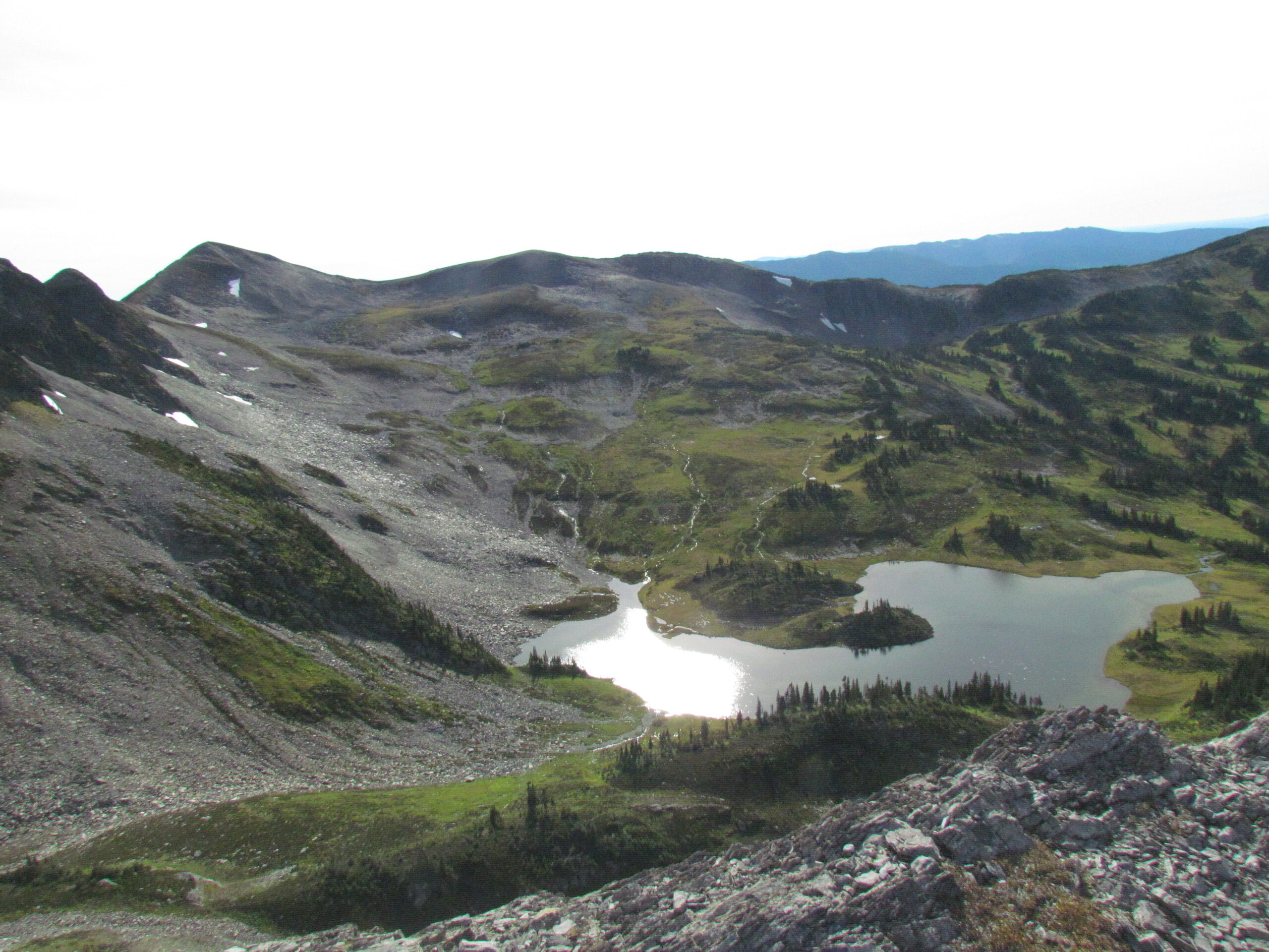
This hike is located about 120km east of Prince George, up the Pass Lake FSR. It’s very steep for the first 3-4 km until you reach the alpine meadow. You can do a big loop around the peak and meadow which is about 1250m cumulative elevation and around a 16 km round trip.
A simpler (and shorter) trail to get up to the Fang summit can be explored: here
Driving Directions: drive down the Pass Lake FSR to around 41 km, where you will see signs on the road pointing to the side road leading to the trailhead. Directions: here
This video shows an SUV turning off Pass Lake Road and driving to the trailhead:
Stats:
Distance: 8.21 km
Elevation Gain: 0 m
Elevation Loss: 0 m
Elevation Max: 0 m
Elevation Min: 0 m
History:
Click here to read about the history of this trail
Photos:


Videos:
July 2025:
Sept 2011: