
| 3-day forecast 10-day forecast | Smoke forecast | Avy forecast | |||
| Photo | Trail Name | Hike Date | Trail Status | Comment | Submitted By |
Description:
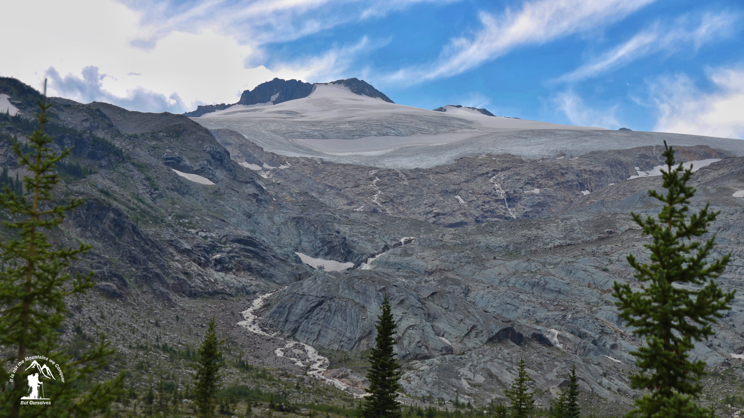
Eagle Valley is located at the toe of an ancient glacier, approximately 9km from the trailhead. The trail difficulty is moderate, and certain sections can be slippery when wet or icy. Depending on the year, the remains of large avalanches may need to be traversed to reach the cabin. For more details on this trail and Cabin reservations: here
Cabin: A two-story alpine cabin located at the toe of an ancient glacier provides an ideal home base for summer and winter adventures. The cabin is well stocked with useful amenities. For full details, visit the Ozalenka club link above.
Driving Directions: Start on the Dore River Forest Service Road and travel for ~6km to the junction. Take the left fork (South Dore) with signs for Eagle Valley. Follow another 13km to a porky enclosure at the trailhead. From there, the trail starts by following a deactivated logging road for the first 3km and then more or less follows the creek for another 6km to the cabin.
Directions: here
Stats:
Distance: 9.38 km
Elevation Gain: 0 m
Elevation Loss: 0 m
Elevation Max: 0 m
Elevation Min: 0 m
History:
Click here to read about the history of this trail
Photos:


Videos:
July 2024:
Drive around the Dore River FSR: