
| 3-day forecast 10-day forecast | Smoke forecast | Avy forecast | |||
| Photo | Trail Name | Hike Date | Trail Status | Comment | Submitted By |
Description:
This trail’s difficulty level is easy to moderate and is in reasonable condition, though certain sections can be slippery when wet or icy. More details of this hike and Cabin reservations: here
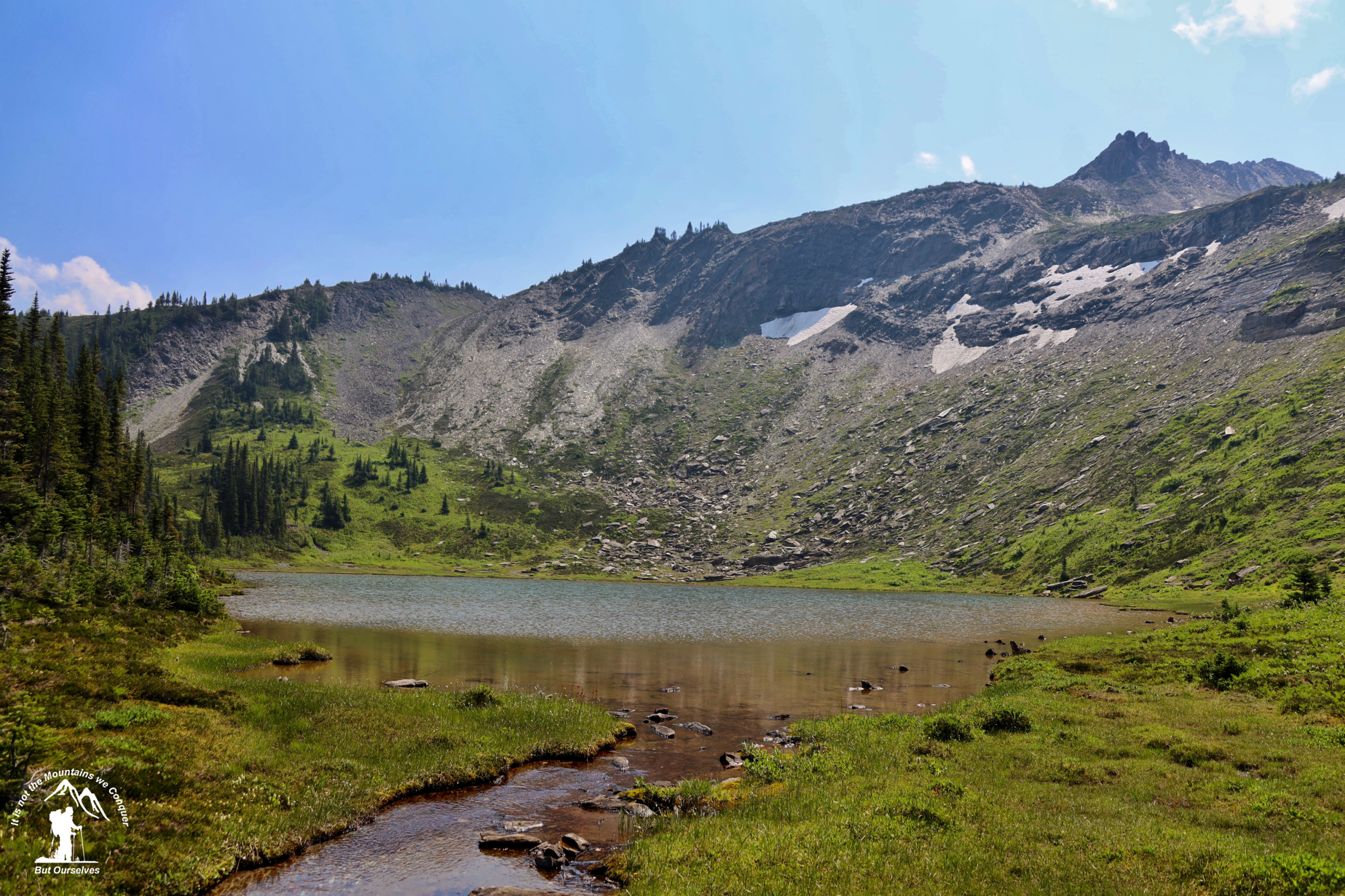
Cabin: A new two-story cabin was finished in the fall of 2022 to replace the original structure. The alpine cabin is situated close to gorgeous flower-strewn alpine meadows, pristine lakes, and majestic peaks makes ideal home base for summer and winter adventures. The cabin is well stocked with useful amenities. For full details, visit the link above, which has up-to-date information and bookings.
Driving Directions: Start on the Dore River Forest Service Road and travel for ~6km to the junction. Take the right fork with signs for Ozalenka. Follow the road for about another 8km and then take the right fork for Ozalenka and follow another 4km until you reach the trailhead. From there, the trail starts by crossing the river and then follows the creek up the valley until reaching the cabin about 7km from the trailhead
Directions: here
Stats:
Distance: 7.01 km
Elevation Gain: 0 m
Elevation Loss: 0 m
Elevation Max: 0 m
Elevation Min: 0 m
History:
Click here to read about the history of this trail
Photos:


Videos:
July 2024:
Drive around the Dore River FSR:
1990s: