
| 3-day forecast 10-day forecast | Smoke forecast | Avy forecast | |||
| Photo | Trail Name | Hike Date | Trail Status | Comment | Submitted By |
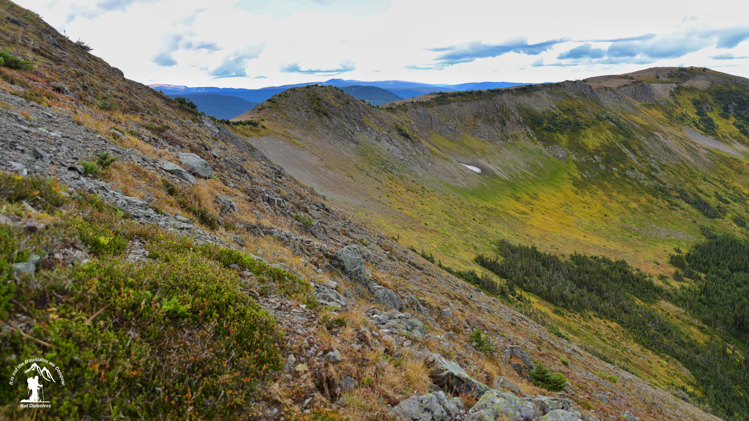
The route to Mt.Patchett, in the Palmer Range east of Barkerville, is described in Hiking the Cariboo Goldfields by Edwards, Funk, and Stoker. The trail makes use of old cut blocks to gain the alpine. It appears the trail doesn’t see much use. Views of Bowron Lake are pretty good, as are views of the seldom-climbed Caribou Mtns.
Mt Patchett Map
Driving Directions: here
GPX track: here
Distance: 7.17 km
Elevation Gain: 0 m
Elevation Loss: 0 m
Elevation Max: 0 m
Elevation Min: 0 m
Distance: 7.17 km
Elevation Gain: 0 m
Elevation Loss: 0 m
Elevation Max: 0 m
Elevation Min: 0 m
Photos:


