
| 3-day forecast 10-day forecast | Smoke forecast | Avy forecast | |||
| Photo | Trail Name | Hike Date | Trail Status | Comment | Submitted By |
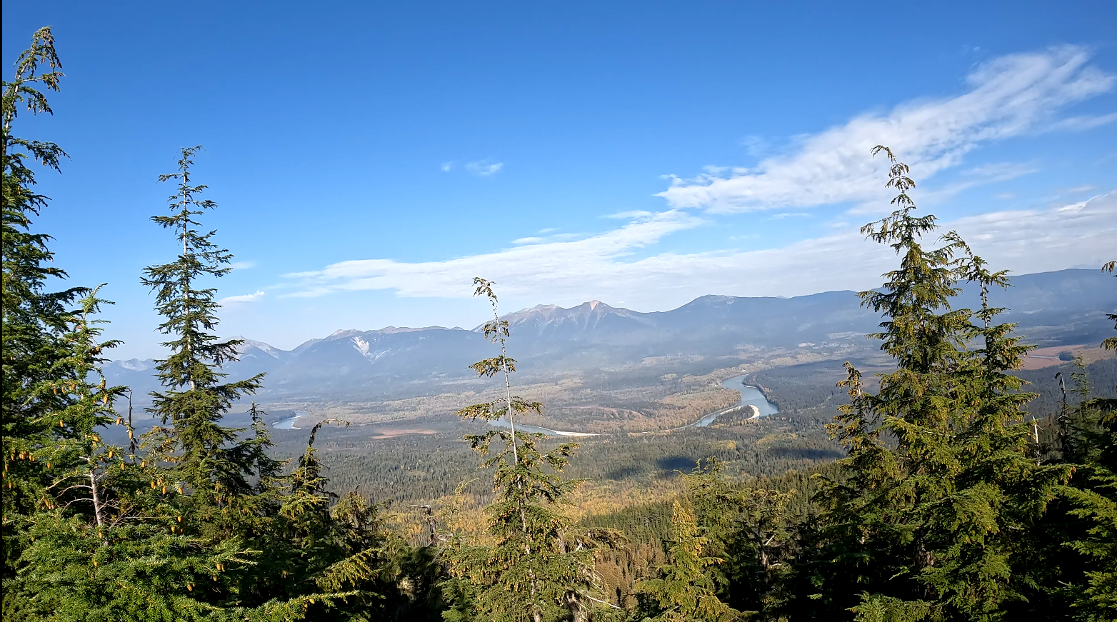
| West Driscoll Ridge in Northern BC | 2026-Jan-03 | Snowshoe Packed | A group of 5 blazed the trail up to the lookout on Driscoll Ridge today. No views at the top but that’s not always the point😉 Get out and explore!! | ||
Description:
This trail is about 1 hour east of Prince George, BC. In this adventure, I take us through the West Driscoll Ridge Trail. The trailhead starts off Highway 16, following the West Driscoll signs after passing both Viking Ridge and Raven Lake signs heading eastward. We hiked 9.63 km round trip to the lake up top, ascending 933 meters (max elevation was 1650 meters) for a total time of 4 hours and 32 minutes
There is some water along this trail (with a lake near the summit), and the cell signal was spotty near the summit.
Stats:
GPS Track: here
Gai GPS info: here
Directions to the trailhead: here
Difficulty: Strenuous
Distance: 9.63 km
Ascent: 933 meters
Max elevation: 1650 meters
Moving Time: 3 hours 56 minutes
Total Time: 4 hours 32 minutes
History:
Click here to read about the history of this trail
Photos:


