
| 3-day forecast 10-day forecast | Smoke forecast | Avy forecast | |||
| Photo | Trail Name | Hike Date | Trail Status | Comment | Submitted By |
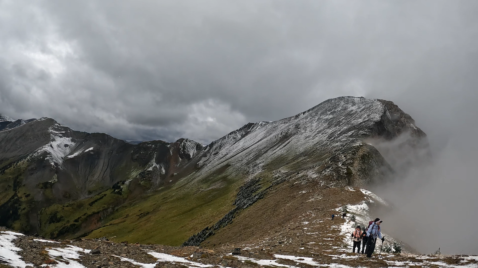
| Erg Mountain in Northern BC | 2025-Sep-03 | Dry | Erg Mountain Trail cleared/brushed to the Erg Mountain Sign, approximately 2.5 K from the Ptarmigan Creek Crossing. Now suitable for a bicycle for those who are able to get a bike across the creek. The creek depth at the crossing is currently just below the knees. The trail has not been cleared brushed beyond the Erg sign so some wind fall remain and still some brushing in the Rhododendron section but hoping to get to that later this fall. | Darren | |
 | Erg Mountain in Northern BC | 2025-Jun-11 | Dry | Access to the Erg Mountain Trail was an easy drive, a high clearance SUV would have been able to make the drive as you can see in the video clips. | Mark Vejvoda |
Description:
This trail is located about 2 hours east of Prince George, BC. Erg Mountain Provincial Park is a beautiful area as seen in the videos below. We show the drive down the Catfish logging road where a few steep spots require careful navigation to make it through 4×4 or a good backcountry SUV that can handle steep climbs is essentially a must. Ptarmigan Creek was a challenge to cross at the trailhead so I moved downstream a bit and it was easier to cross. There is water most of the hike up this trail and cell signal was only working for me once I reached the ridgeline.
Stats:
GaiGPS track: here and new trailhead crossing the Ptarmigan creek as of Sept 2025 here
Directions to trailhead: here
Difficulty: Very Strenuous
Distance: 18.0 km
Ascent: 1492 meters
Max Elevation: 2283 meters
Moving time: 6 hours 55 minutes
Total time: 8 hours 4 minutes
History:
Click here to read about the history of this trail
Photos:


Videos:
July 2024:
July 2023:
August 2022:
September 2021:
Oct 2022: