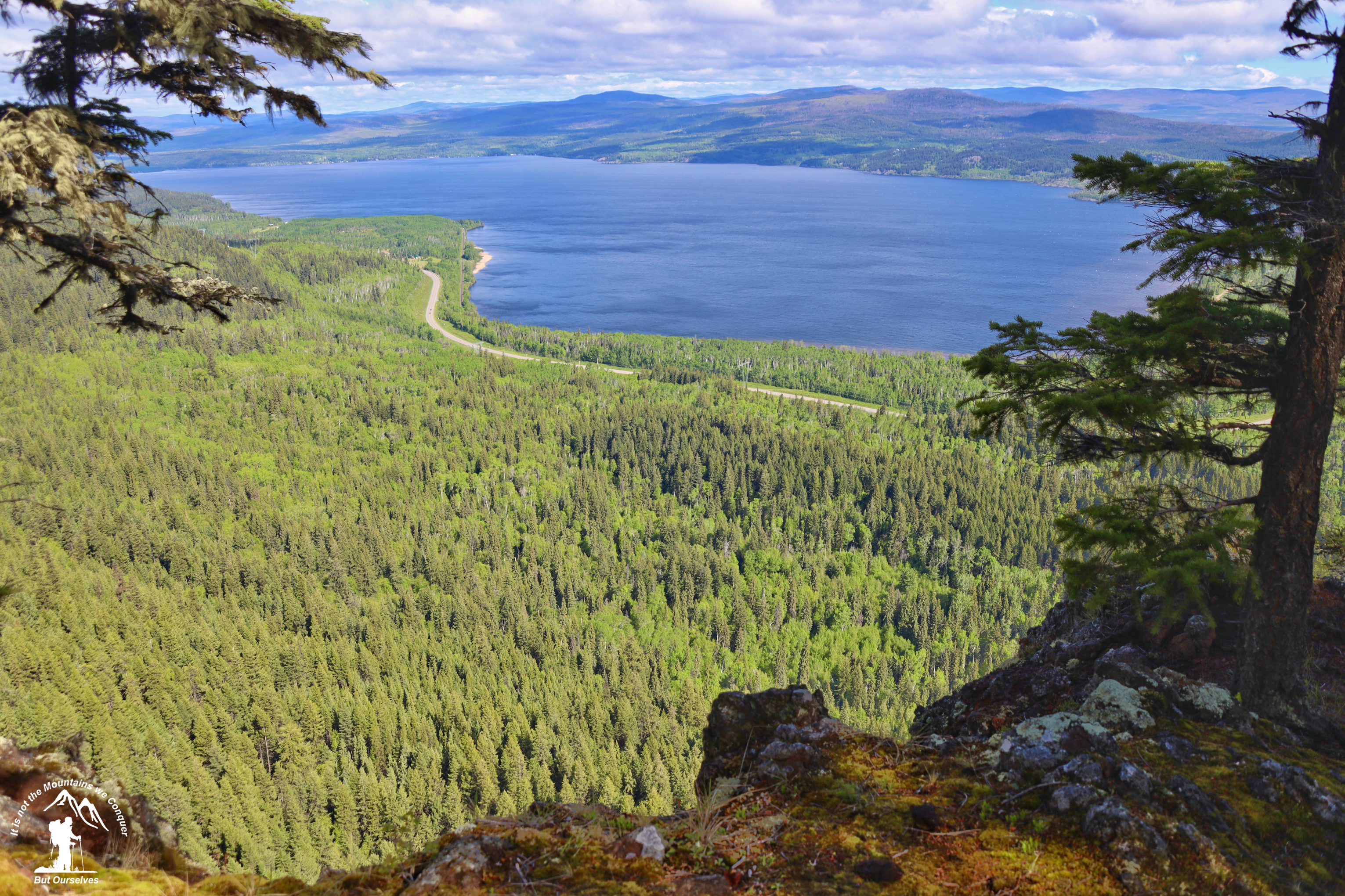
This trail climbs from Hwy 16 to the top of Fraser Mountain which is an elevation change of over 300m. The main trail is 4.7 km long and the spur trail to the cave and bluffs is 1.4 km long. The spur trail terminates at a viewpoint that is at the top of the bluff that can be seen from the Highway. There is a cave located on this trail. Look for a second trail off to the left of the spur trail. Caution: steep bluffs, deep holes, and crevasses located throughout this area.
Directions to trailhead: here
GaiGPS track: here
Photos:


Videos:
December 2023:

