
| 3-day forecast 10-day forecast | Smoke forecast | Avy forecast | |||
| Photo | Trail Name | Hike Date | Trail Status | Comment | Submitted By |
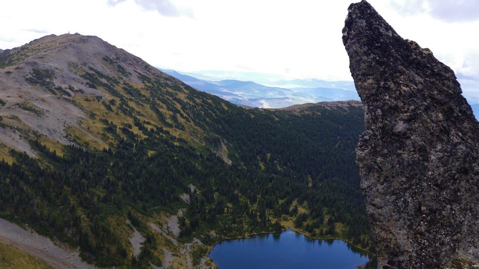
 | Two Sisters in Wells, BC | 2026-May-23 | Variable | Dry for first 1.5km then snow shoes necessary. Soft snow transitioning to hard packed at higher elevations. | Cam Meroniuk |
This is the old access road used to support the fire lookout tower. The trail is about 6.5 km long with a gradual grade until the last pitch which is above the treeline. This is a motorized trail in snow-free months only.
Two Sisters Map
Directions to trailhead: here
GPX track: here
Distance: 7.55 km
Elevation Gain: 0 m
Elevation Loss: 0 m
Elevation Max: 0 m
Elevation Min: 0 m
Distance: 7.55 km
Elevation Gain: 0 m
Elevation Loss: 0 m
Elevation Max: 0 m
Elevation Min: 0 m
Photos:


Videos:
December 2023: