
| 3-day forecast 10-day forecast | Smoke forecast | Avy forecast | |||
| Photo | Trail Name | Hike Date | Trail Status | Comment | Submitted By |
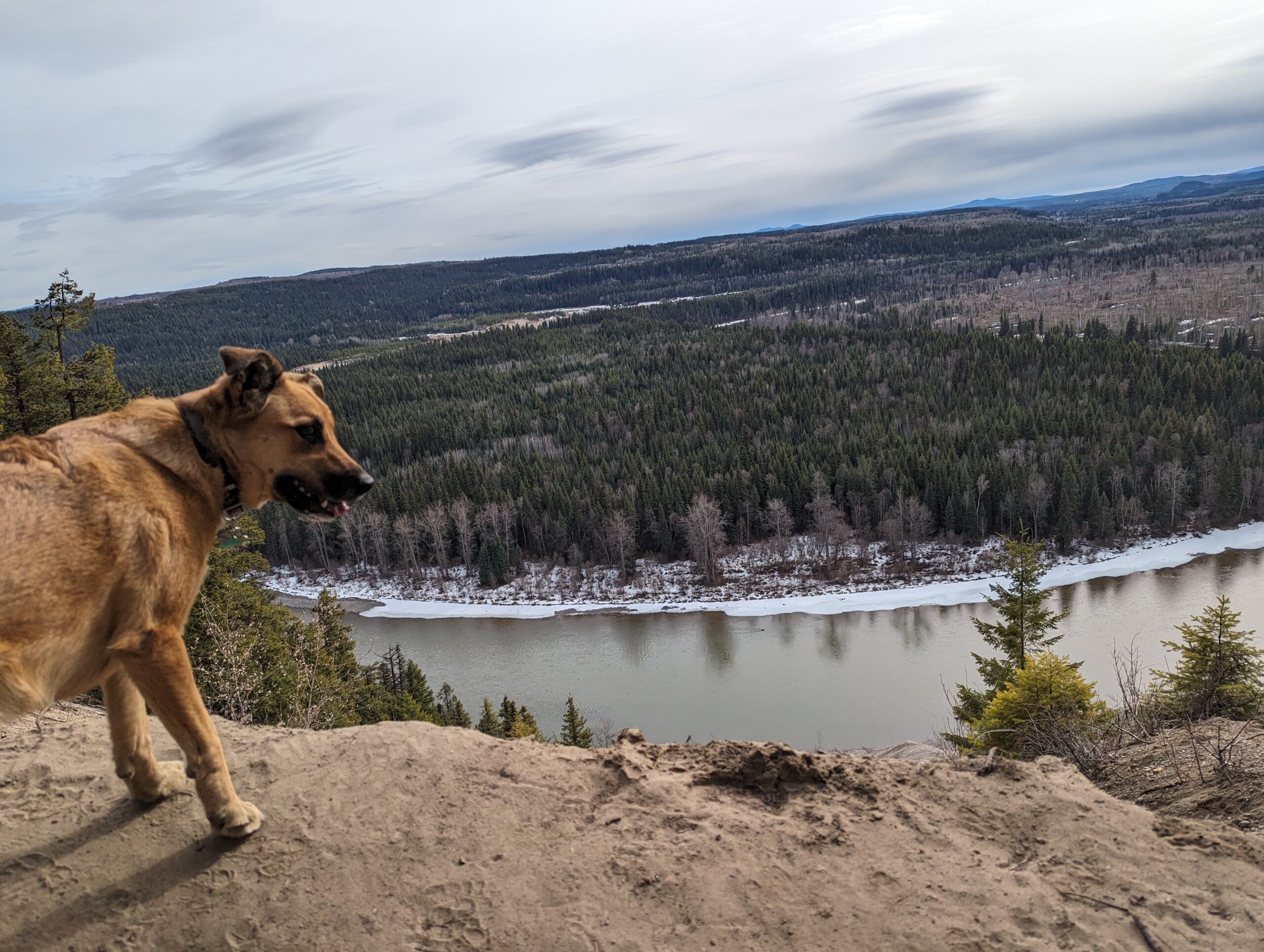
Nechako Ridge Map
Directions to trail: here
GPX track: here
Distance: 1.48 km
Elevation Gain: 147 m
Elevation Loss: 166 m
Elevation Max: 736 m
Elevation Min: 574 m
GPX track: here
Distance: 1.48 km
Elevation Gain: 147 m
Elevation Loss: 166 m
Elevation Max: 736 m
Elevation Min: 574 m
Photos:


Videos:
February 2025:
April 2024: