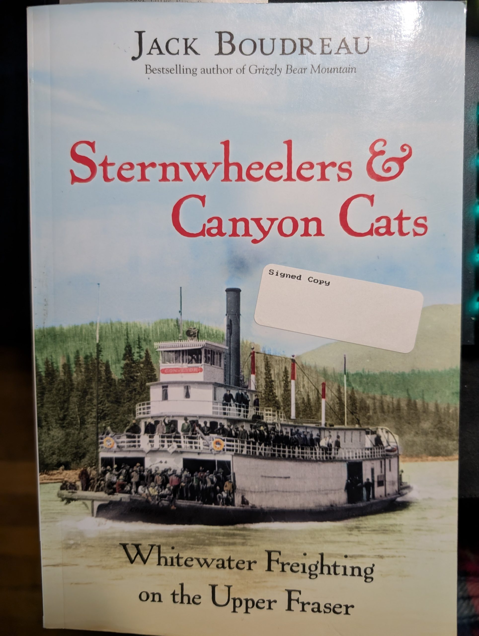

Once a place of bustling activity, the Grand Canyon of the Fraser is rarely visited today; it is situated upstream of Sinclair Mills on the Fraser River, four kilometres north of Highway 16, and about 16 kilometres east of Purden Lake. Despite being protected as part of the Sugarbowl-Grizzly Den Provincial Park, there is, as yet, no developed access, and one must bushwhack using old winter logging roads and rough-cut trails, or access it by river. There is a summer track and a winter track that can be followed and have some trail markers, but this is limited. Several books have been written that cover the rich history of this area, including ‘Sternwheeler’s and Canyon Cats’, ‘Exploring Prince George’, and ‘Crazy Man’s Creek’, to be named among a few.
The area had been explored by Lorne and Win Glassford, as well as Mike Nash. The summer trail route was the work of the Glassfords, while Mike Nash played a major role in getting the Grand Canyon of the Fraser included in the Sugarbowl/Grizzly Den Park to protect its rich history. The first access trail from Hwy 16 was built by Joe Plenck. After observing his old VW parked there on many occasions, Mike Nash later explored the area, initially by skiing down Kenneth Creek to Sugarbowl Creek and the Fraser.
It wasn’t too long before the summer trail could no longer be used, as the logging road was deactivated, so people started looking for a winter trail. At one point, there was a guide outfitter trail following the side of Kenneth Creek all the way down to the Fraser. The route was used for a while, but quickly became a tangled mess. The trapper abandoned the trail, and new logging started on the east side of Kenneth Creek around 2015, so the main winter trail follows that old logging road to the point it crosses Kenneth Creek. The trail does not get much attention and is generally used in cold winter conditions when Kenneth Creek and sections of the Fraser River freeze over.
The Grand Canyon of the Fraser lies in the midst of the Rocky Mountain Trench (most of which, from Tete Jaune north, is a strike-slip fault, similar to the San Andreas fault, with a lateral northwest movement on the south side of about 700 kilometres over the last 160 million years), and stretches roughly sixteen hundred kilometres from the U.S. border to the Yukon. As well as being a place of great scenic beauty, the canyon holds much historical interest. Father Morice was one of the first to document this in his History of the Northern Interior, published in the nineteenth century, in which he documented a bizarre case of murder and cannibalism that occurred in 1862 after five men, the last of the Overlanders en route to the Cariboo goldfields, were shipwrecked late in the season.
Later came (pre-railway) river freighting between the Yellowhead Pass and Fort George. Many of the travellers in the early years of the twentieth century were inexperienced on the river. Using roughly built scows, they plied the canyon on one-way trips to transport supplies to Fort George from Tête Jaune—many coming to grief on Greens Rock in the upper canyon, with others being lost in the rapids or sucked into the whirlpools of the lower canyon. Loss estimates range from one to two hundred killed. Many of the obstructions in the canyon were removed by blasting early in the 20th century to allow passage of the sternwheelers traveling upriver to McBride. During the railway construction era, circa 1913, when the new railway bridge crossings put an end to further sternwheeler competition, there was a large hospital camp located four miles downriver from Penny, and in the 1930s, there were two Depression-era relief work camps located two and seven miles downriver from Penny, accommodating 60 and 40 men, respectively. In the 1950s and 1960s, industrial logging took place in the area, and an early forestry helicopter was lost when it hit a steel cable that crossed the canyon.
There are healthy wolf populations in the area, and it is common to see fresh tracks on the river ice above the canyon in winter, or hear them howling from the nearby Sugarbowl and Viking Ridge trails. Mountain caribou live on the surrounding ridges both north and south of the Fraser River. These herds are marginally stable (all herds south of here are in slow decline), and represent the last best chance to recover and maintain healthy mountain caribou populations in the mid to southern parts of British Columbia. They are part of the B.C. government’s mountain caribou recovery plan that was announced in the fall of 2007. Each spring and fall, many of these animals migrate down from the mountains and across the Fraser River just above the Grand Canyon. Moose, deer, black bears, and grizzly bears are also common in the canyon area. Artifacts recovered in the canyon include a stone pestle and a five-pound Mastodon tooth.
The time is noon on the first Sunday in May. The weather is clear and hot, the bush is dry, and there are no mosquitoes. Thirty people from the Caledonia Ramblers Hiking Club are scattered about the rocks and sandy beach next to the blue-green rapids above the Grand Canyon of the Fraser. Just below the rapids, the river makes a 90-degree turn to the right. This is the upper Canyon, where “Greens Rock” used to be located, which is reputed to have claimed over 100 lives. We had started our trek two and a half hours earlier from Highway 16 just west of Kenneth Creek, less than one hour driving time from Prince George.
A place of bustling activity in the past, the Grand Canyon is rarely visited today. It is situated upstream of Sinclair Mills on the Fraser River, 4 km north of Highway 16 and about 16 km east of Purden Lake. At the present time, there is no developed access, and part of its charm is that one has to bushwhack using old winter logging roads and rough cut trails. The summer route is about 8 km from the highway, following the north side of Kenneth Creek. Winter access is only 4 km, crossing a park-like black spruce swamp to the confluence of Sugarbowl and Kenneth Creeks.
The Grand Canyon of the Fraser is in the midst of the longest land-based rift valley on earth. The Rocky Mountain Trench stretches roughly 1,600 km from the Yukon to the U.S. border. The Cariboo Mountains provide an impressive backdrop from Winter to early Summer, with Sugarbowl Ridge retaining its snow pack until the end of June. Conversely, the Grand Canyon is visible from the Sugarbowl Hiking Trail after it gains the ridge, 900 vertical meters above the highway.
As well as being a place of great scenic beauty, the Canyon holds much historical interest. It was first documented by Father Morice in his “History of the Northern Interior”. Morice described a bizarre story of survival and cannibalism in the area of the Canyon. Since then, the Canyon has witnessed the passage of the Overlanders en route to the Cariboo gold fields, and much pre-railway river freighting between the Yellowhead Pass and Fort George. Many of the travelers were inexperienced on the river. Travelling on handmade rafts or in boats tied together, they often came to grief on Greens Rock. The rock was eventually removed by blasting early in this century to allow passage of the sternwheelers traveling to McBride.
Ray Mueller of Sinclair Mills took five of us through the Canyon in the Fall of 1992 in his specially designed river boat. He had been working on the river since 1925, and he described some of its history to us:
The Canyon was once the site of a large railway camp. Ray described firsthand accounts he had heard of bodies caught in the endless whirlpools below the canyon, when for each person killed there would be several more waiting to take their place. Later, the area became the site of a wartime internment camp. Ray recounted many memories of the Canyon, including taking his house through on a raft 30 years before, and more recently shepherding the Penny Railway Station on its river journey to the Railway Museum in Prince George. In the 1950’s and 60’s came the logging camps. An early forestry helicopter being used by Northwood Pulp and Timber was lost when it hit a steel cable crossing the Canyon.
The relatively tranquil appearance of the water in the Canyon belies its true nature. Ray described an incident many years ago when he was taking his family through the Canyon. Without warning, a large tree shot out of the water like a submarine-launched missile. It narrowly missed his boat on exit and, with doubly good fortune, fell away from the boat on reentry. It had been held down in the current.
Back at his house, over tea and cookies, Ray showed us some of the artifacts he has found over the years, including a 5-pound Mastodon tooth.
My first visit to the Canyon was a solo ski trip in early 1991. Shortly after starting out, I lost the trail and spent many hours bushwhacking along Kenneth Creek. My exploration was inspired by a local man, Joe Plenk, whose car I had often seen parked on the highway near Kenneth Creek. Working alone, Joe had developed the rough trails now found in the vicinity of the Canyon.
The area has a special beauty in the winter. On a clear -25C day in January, a short ski along the Fraser River ice from the mouth of Kenneth Creek brings you to the open water of the upper rapids. There, the mist rises off the boiling green waters. There are healthy wolf populations in the area, and it is common to see fresh tracks on the river ice. I have heard and seen wolves several times while hiking and skiing on the nearby Sugarbowl and Viking Ridge. On one occasion, while leading a Caledonia Nordic ski tour to the Canyon, we saw the frozen carcasses of 2 dead pigs on the ice near the mouth of Kenneth Creek, surrounded by countless wolf tracks. In a later conversation with a Conservation Officer, I learned that the baiting of wolves in this way is a legal, if unsavory, practice.
One of the reasons for the high wolf population is the 100 or so mountain caribou that live on the Sugarbowl and Viking Ridge. Each Spring and Fall many of these animals migrate down from the mountains and cross the Fraser River. It is common to see groups of Caribou along the 6 km stretch of highway between the Sugarbowl and Viking mountain trail heads in April/May and October/November. This May was no exception. A radio collar study that has been ongoing since the late 1980’s has shown that the caribou are travelling much further than had previously been thought, crossing several mountain ranges from the Cariboo Mountains to the Rockies.
Recognizing these values, the provincial government’s regional protected area team (RPAT) has proposed that the Grizzly Creek protected area should extend across Highway 16 to include the Grand Canyon.
The walk into the Grand Canyon starts at an old logging road on the north side of Highway 16, about 800 meters west of the highway crossing of Kenneth Creek. The trail is overgrown and almost indiscernible at first, but quickly opens up into a good track. A map and compass are essential since the route is not marked in any way. After about 2 km, the trail swings north, and after crossing a creek, it ends at a T-junction with another old forest road.
On our hike, we stop and take a look around, so as not to miss this turn on the way back. As we continue, some impressive beaver ponds along the way have flooded part of the trail, requiring a little bushwhacking around the wet spots. But, lured on by the fresh green spring vegetation and distant snow- capped mountains, this seems like a small inconvenience. At about the 4-kilometer point, a trail forks to the left. We continue straight on. After 6 km and 1.5 hours of brisk walking, the road curves to the right from a small clearing of young trees and heads down to the Fraser River. From this clearing, a rough trail leads to the left into mature forest and heads in a north/north easterly direction down to the Grand Canyon. Good bush and route-finding skills are essential. Hazards can include rough terrain, thick bush, insects, bears, and fast water, but these are compensated by the rewards of the destination.
After absorbing the unique surroundings and enduring a short interpretive talk by the guide, the party scrambles past the rapids to the elbow in the river. There, the trail climbs to achieve a nice vantage as it wanders high above the Upper Canyon. Descending at last to a large widening in the river, we stop for a long lunch near the remains of an old dock. One kilometer downstream, we can see the river pinching into the tight walls of the Lower Canyon. There, it cuts through a seemingly misplaced 230-meter-high ridge in the middle of the Rocky Mountain Trench. One or two people wander along the beach toward the lower canyon, but most save themselves for the 8 km walk out to the highway.
~~~~~
A Historical Canyon Journey
by Mike Nash – Prince George This Week – May 1998
It was a perfect day in May to hike into the Grand Canyon of the Fraser. A pleasant breeze matched the clear sky and 20-degree temperatures. The fresh leaves on the trees framed the sweep of the Fraser River. The snowy backdrop of Sugarbowl and Viking Ridges reminded me of snowshoeing there a week earlier and my encounter with a caribou on the descent.
The long walk into the canyon from Highway 16 was mostly dry this year, thanks to our unusual Spring. Countless tracks of moose, wolf, and grizzly bear were frozen into the dry mud and spoke of earlier conditions. There were hardly any mosquitoes.
The Grand Canyon is divided into upper and lower sections, and our objective on this occasion was to reach the lower canyon. We bypassed the upper rapids, where the river makes the first of three 90-degree turns, and we were soon on the rim of the upper canyon. From there, we looked down on the waters where many of the inexperienced early river runners had died freight hauling from Tete Jeune to Fort George. The river was high and brown.
It was probably near this place that Father A. G. Morice, in his History of the Northern Interior of BC, documented a bizarre case of cannibalism that occurred in 1862 after five men were shipwrecked late in the season. Morice wrote: “Helstone and Wright were still alive, but, maddened by hunger, had killed Rennie. When they were found, they had eaten all but his legs, which they held in their hands at the time.” According to Morice, the two men drove off their would-be rescuers with revolvers. When their remains were found the following Spring, one of them had apparently killed and eaten the other, and in turn had been killed by a third party.
Immediately below the upper canyon, another stretch of rapids empties out into a curious lake-like widening in the river. A good place for a rest. On the far side, a hint of white water marks the place where the lake funnels into the lower canyon.
High water forced us to bushwhack a few hundred meters before regaining the trail. Torn legs and arms on several people in the group attested to what it must have been like for early pioneers, as well as to the limitations of modern shorts and T-shirts.
The rustic trails eventually led us to a spectacular viewpoint overlooking the lower canyon.
This was a great spot to eat lunch as we waited for the legendary whirlpool to appear. It did not on this occasion, but sitting there, I recalled reading about the BX steamer losing steerage at this place 200 feet below us in June of 1913. The ship was fighting its way through the whirlpool when a large spruce tree appeared from the depths and jammed its rudders. In a scene reminiscent of the Titanic, everyone was on deck watching the drama unfold, curious as to the outcome yet confident that their seasoned Captain Bucey would save the ship. All, that is, except one man, a traveling salesman selling diamond rings to the prostitutes in the railway construction camps up and down the river.
As the ship swung around in the whirlpool and touched the canyon wall, he suddenly ran across the deck and leapt for the rocky shore. As he clung to a ledge above the maelstrom, the ship broke free of the whirlpool and drifted downriver to safety. After tying up and starting repairs, a rescue party was organized and headed back upriver. To their amazement, they found the salesman still clinging to the ledge. They dropped a rope and hauled him to safety, where, after checking that his jewelry cases were still safely in his jacket pockets, he collapsed. After he had recovered, they took him back to the ship, and following the standard first aid treatment of the day, they put him in his berth and gave him a large drink of whisky!
Our hike didn’t end quite as dramatically. We explored a little further downriver, and then, after successfully locating everyone, happily started the long hike home.
~~~~~
Ice bound to the Grand Canyon
by Mike Nash – Prince George This Week – March 2002
To hike into the historic Grand Canyon of the Fraser in the summer means committing to a 20-kilometer round-trip slog from Highway 16 on the north side of Kenneth Creek, often in muddy and mosquito-invested conditions on trails that can best be described as rustic. People do it because of the lush, wild country and its abundant wildlife; the snow-covered mountain backdrop, and the rugged scenic trails through the upper and lower canyons at the destination. The Grand Canyon is now part of Sugarbowl Grizzly Provincial Park and has been attracting groups of hikers every year for more than a decade.
An alternative way to see the Grand Canyon is on skis on a sunny, cold late winter day when the creeks and rivers are still frozen, and one can take a shortcut to the canyon on a direct line from Highway 16. The route crosses a striking black spruce bog to arrive at the confluence of Sugarbowl and Kenneth Creeks, and then follows Kenneth Creek down to its confluence with the Fraser River two kilometers above the upper rapids of the Grand Canyon. It is tempting to cut directly across to the Fraser River from the mouth of Sugarbowl Creek, but the bush close to the Fraser Riverbank is nearly impenetrable, and it’s best to stay with Kenneth Creek. The trip should only be undertaken if you are confident with your backcountry skills, and only then if you have determined that the ice on Kenneth Creek is safe to cross. Once at the Fraser River, it’s best to travel along the south shore and stay off the river ice, especially near the canyon, where there is always open water and unsafe conditions.
One of the really nice things about this trip, apart from its wonderful setting and historic destination, is that it is almost entirely out in the open. This means a nearly uninterrupted view of the surrounding mountains and a great way to get some much-needed sun that is hard to find on most of our winter trails.
Mid-March would normally be late in the season for this route, but this month’s unseasonably cold approach of spring meant that conditions were perfect last weekend. The Bearpaw Ridge shone brilliantly under its fresh cover of snow as we headed down from the highway into the cold northern breeze, breaking trail through soft powder snow. Our path was at first crisscrossed by the fresh tracks of many animals, including coyotes, wolves, moose, and weasels, each telling a tale as it stopped to investigate something, or did a U-turn to hurry back to the cover of the forest. Leaving an old winter logging road and forcing our way through the thicket that surrounds the bog, we entered a world that was serene and beautiful, but was completely devoid of tracks – it was as if we had entered an eerie wildlife no man’s land.
The trip down to the Fraser was uneventful, and after travelling along its shore, we reached the sound of the upper rapids of the Grand Canyon only two hours after leaving the highway. This is the scene that went out to employees and customers of Northwood (now part of Canfor) on the company’s 1993 Christmas card. And as we ate lunch on the banks of the river under a blazing equinox sun that was more than a match for the chill air, my partner commented, “This is good as sitting on the beach in Mexico!”
Photos


Videos: