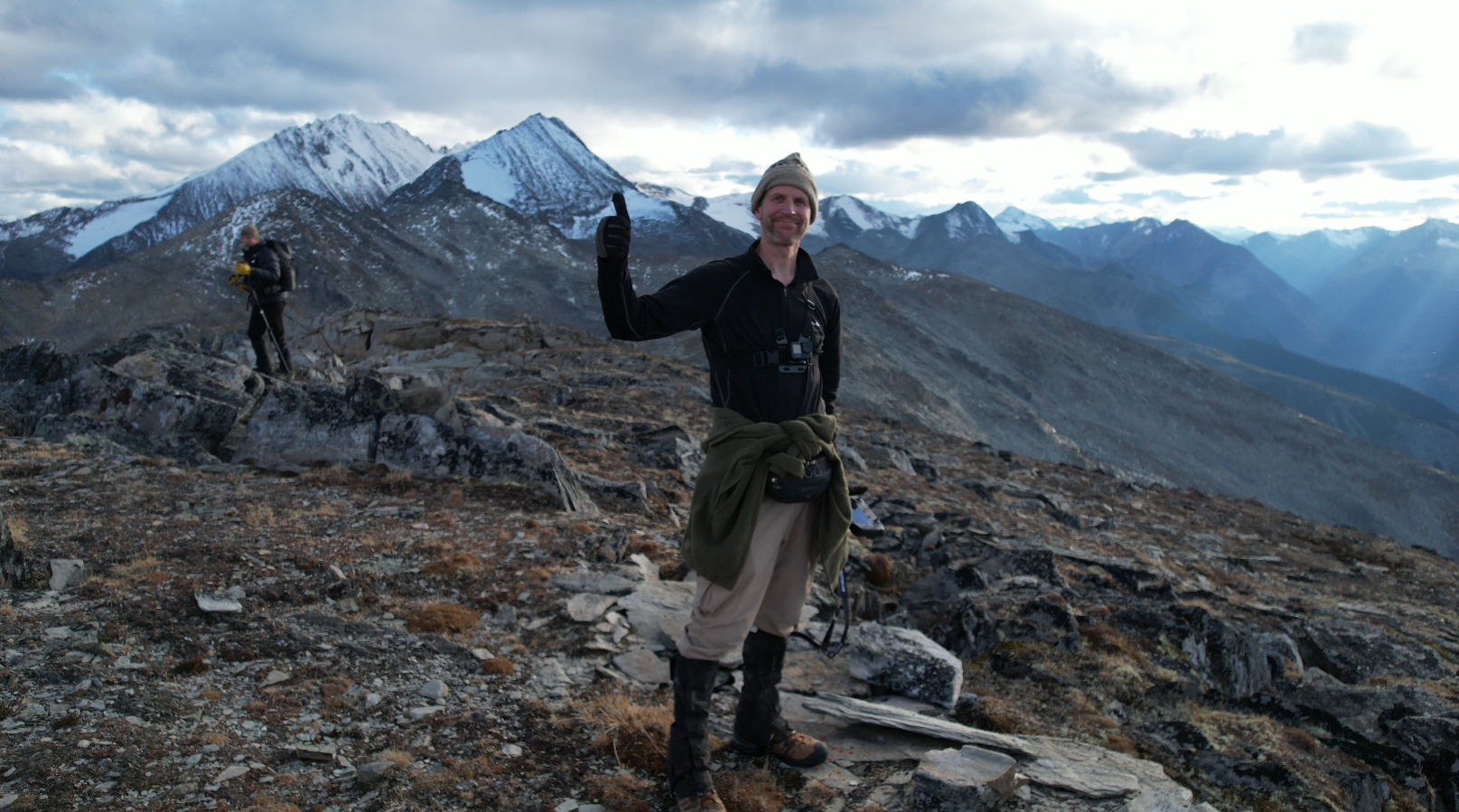
This hike is located a 2.25-hour drive east of Prince George, BC. This hike starts at a higher elevation and the trailhead has various places at your comfort level for parking, but a 4×4 can get you the full 10 km. The trail is about 3.5 km to Lucille Summit with an extra 1 km if you want to hike to the cell tower to the east which offers world-class views of Chevron Mountain and Glacier.
Directions to trailhead: directions here
GaiGPS: here
Photos:


October 2023
Tesla Prince:
Trekking with Taz:

