
| 3-day forecast 10-day forecast | Smoke forecast | Avy forecast | |||
| Photo | Trail Name | Hike Date | Trail Status | Comment | Submitted By |
Description:
The Mt Chamberlain Trail is a very strenuous, steep hike ascending 1215 meters over 4.5 km through rock, gravel and shale.
The old logging road leading from hwy 16 to the trailhead is about 3 km long and can be driven by SUV or high clearance 4×4, saving 6 km overall. The first 1.5 km from the trailhead leads to a beautiful bench with stunning views of the Robson Valley and Mt Robson in particular.
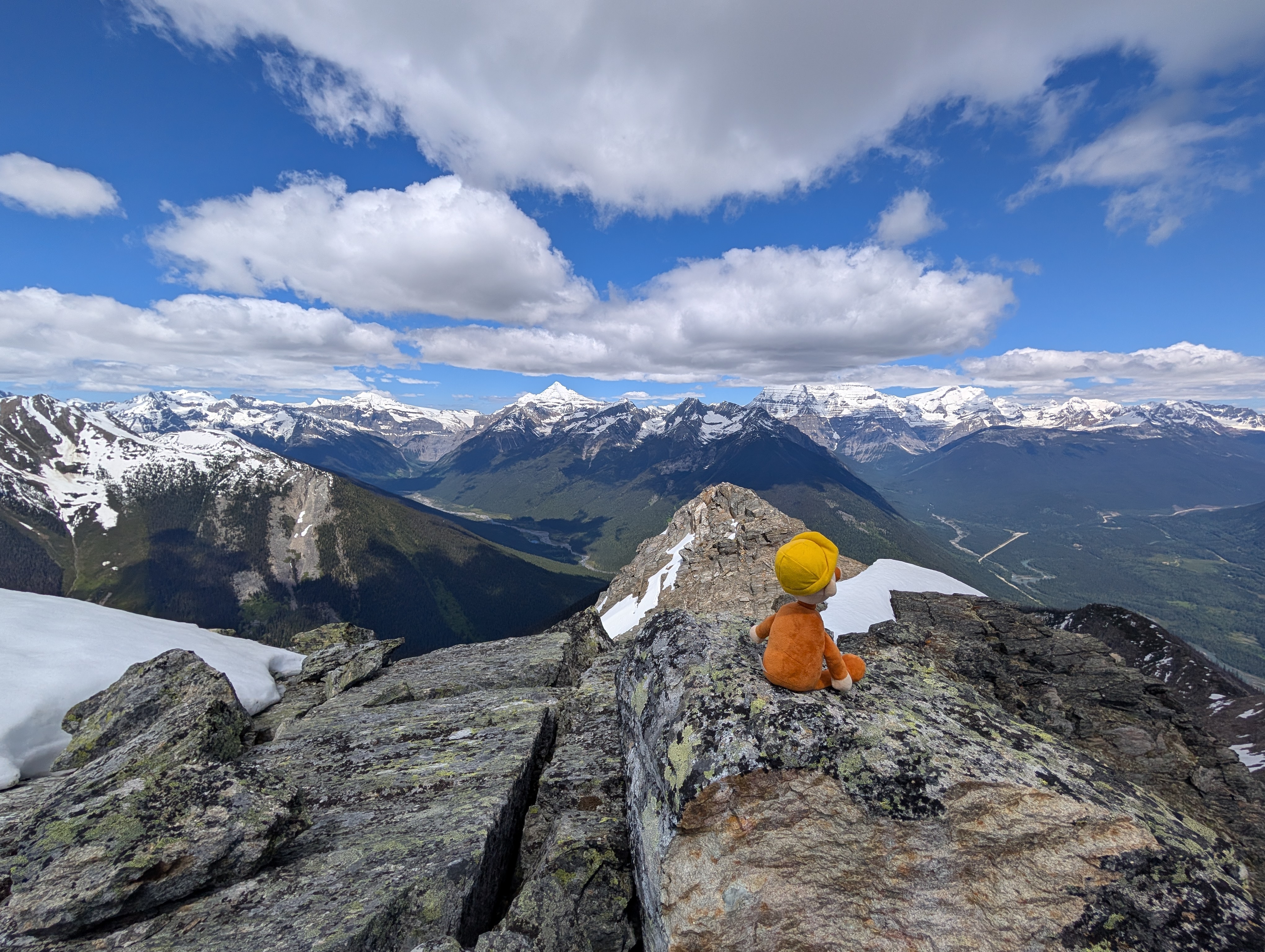
The next section rises steeply to the summit and should only be attempted by people with experience scrambling in moderate rocky areas, navigating steep, slippery terrain. The views at the top are world class offering 360 degree views of the region including Mt Longstaff and Swift Current Creek valley to the north, Whitehorn Mt, Cinnamon Mt, Mt Robson, Mt Resplendant, Overlander MT, Terry Fox Mt, etc
Difficulty level: Very Strenuous to the summit, or Moderate to the Bench view
Directions to the Trail: here
Stats:
Distance: 10.02 km
Elevation Gain: 1,243 m
Elevation Loss: 1,275 m
Elevation Max: 2,370 m
Elevation Min: 1,091 m
History:
Comming soon..
Photos:


Videos:
June 2026