
| 3-day forecast 10-day forecast | Smoke forecast | Avy forecast | |||
| Photo | Trail Name | Hike Date | Trail Status | Comment | Submitted By |
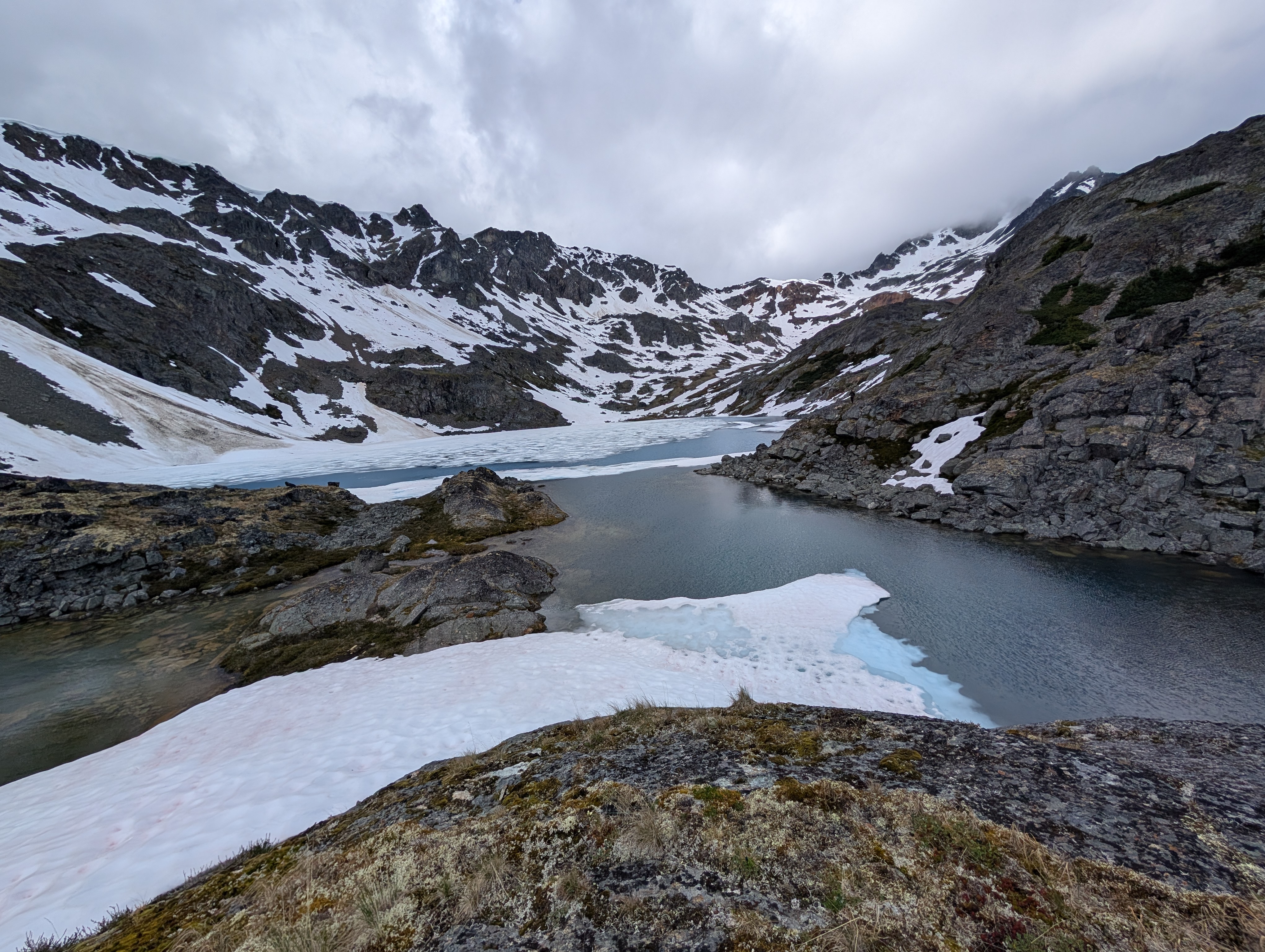
 | Silver King Trail in Babine Mountain Provincial Park, Smithers, BC | 2026-Jun-27 | Variable | Trail was basre to the Cabin, then a few snow pockets heading up Hyland Pass but easily navigated. Most alpine lakes still partly coverage with snow/ice | Mark Vejvoda |
Description:
The Silver King Trail is a Moderate hike with many options leading towards the McCabe Trail, the Fletcher-Gardiner Trail, the Hyland Pass Trail, and various other connectors. The first 9 km follows an old logging road to the Joe L’Orsa Cabin located in the Silver King Basin of the Babine Mountains at 54°54’37.56″N x 126°53’10.73″W. Access to the cabin is via the Driftwood Road and the Silver King Trail. It sleeps 15 to 20 people, and is available on a first-come, first-served basis. Be prepared to sleep outside if the cabin is full.
The first 9 km leading to the cabin can be easily accessed using mountain bikes (no motorized vehicles allowed) which saves 18 km round trip.
The trail continues northward up the Hyland Pass where alpine views can be seen in the surrounding area, and Mountain Goats frequent these sweeping craggy peaks.
The track below includes a rough, lesser-marked trail leading to Silver King Lake.
Difficulty level: Moderate to Strenuous
Directions to the Trail: here
Stats:
Distance: 30.40 km
Elevation Gain: 1,353 m
Elevation Loss: 1,352 m
Elevation Max: 1,813 m
Elevation Min: 964 m
History:
Comming soon..
Photos:


Videos:
June 2026