
| 3-day forecast 10-day forecast | Smoke forecast | Avy forecast | |||
| Photo | Trail Name | Hike Date | Trail Status | Comment | Submitted By |
Description:
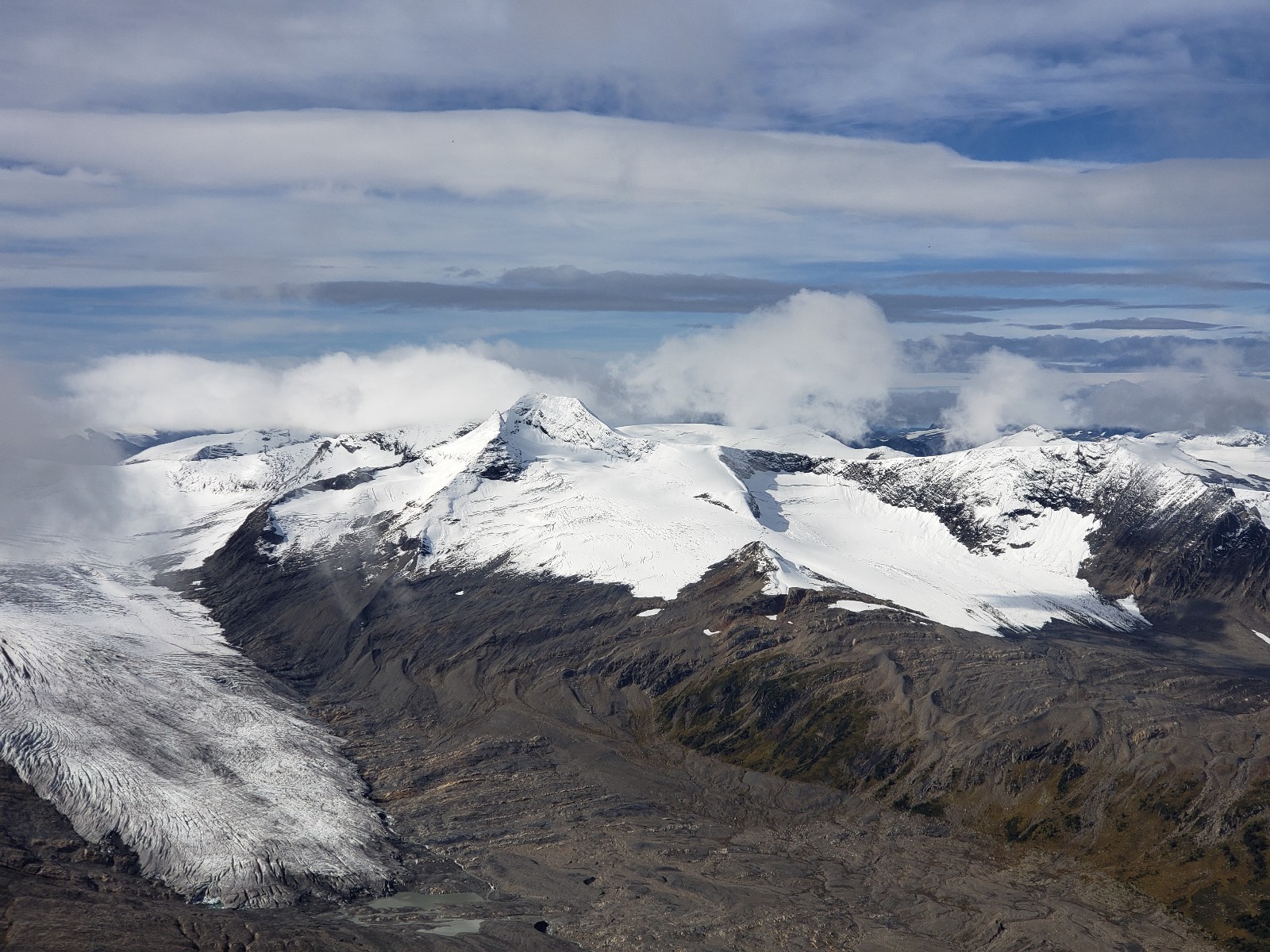
The Avalanche Valley Trail rises high to the pass and then descends steeply down to Caribou Lake in the vicinity of Roberts Glacier. The difficulty is moderate to hard due to significant elevation gain/loss and approximately 14km from the trailhead to the lake, with additional distance required to get to the trailhead from the road washout..
For more details on this trail, look: here
Driving Directions: Start on the Dore River Forest Service Road and travel for ~6km to the junction. Take the left fork (South Dore) with signs for Eagle Valley. Follow the road past the Eagle Valley Trailhead as far as possible, and they carry on past the washout to the trailhead. From there, the trail starts going up by the creek through old logging and then goes up Avalanche Valley to the pass. Follow cairns in the alpine and then descend down to Caribou Lake.
NOTE: The bridge at 17km has been deactivated, and the bridge at 18km has washed out. At high water, crossing the creek may not be feasible.
Directions: here (to Eagle Valley Trailhead), but then continue down the road past Eagle Valley until you get to the deactivated section of the road and the decaying bridge
Video exploring the Dore FSR in July 2024:
Alternate route: As a variation, you can travel up the Avalanche Valley trail to the pass and then traverse the ridge line N and then W to Hook (Midway) Peak, then turn N and travel down the glacier and work your way over to the Kristi glacier trail pass and then come out the Kristi glacier trail. Roughly 36km with fairly significant elevation gain/loss over the distance.
Stats:
Distance: 14.24 km
Elevation Gain: 904 m
Elevation Loss: 453 m
Elevation Max: 2,247 m
Elevation Min: 1,327 m
History:
Click here to read about the history of this trail
Photos:


Videos:
coming soon