
| 3-day forecast 10-day forecast | Smoke forecast | Avy forecast | |||
| Photo | Trail Name | Hike Date | Trail Status | Comment | Submitted By |
 | Coffee Pot Mt in Northern BC | 2025-Nov-03 | Snow | Light snow has covered the Davie Lake FSR from Hwy 97 to the trailhead as well as the covering the entire trail. | Mark Vejvoda |
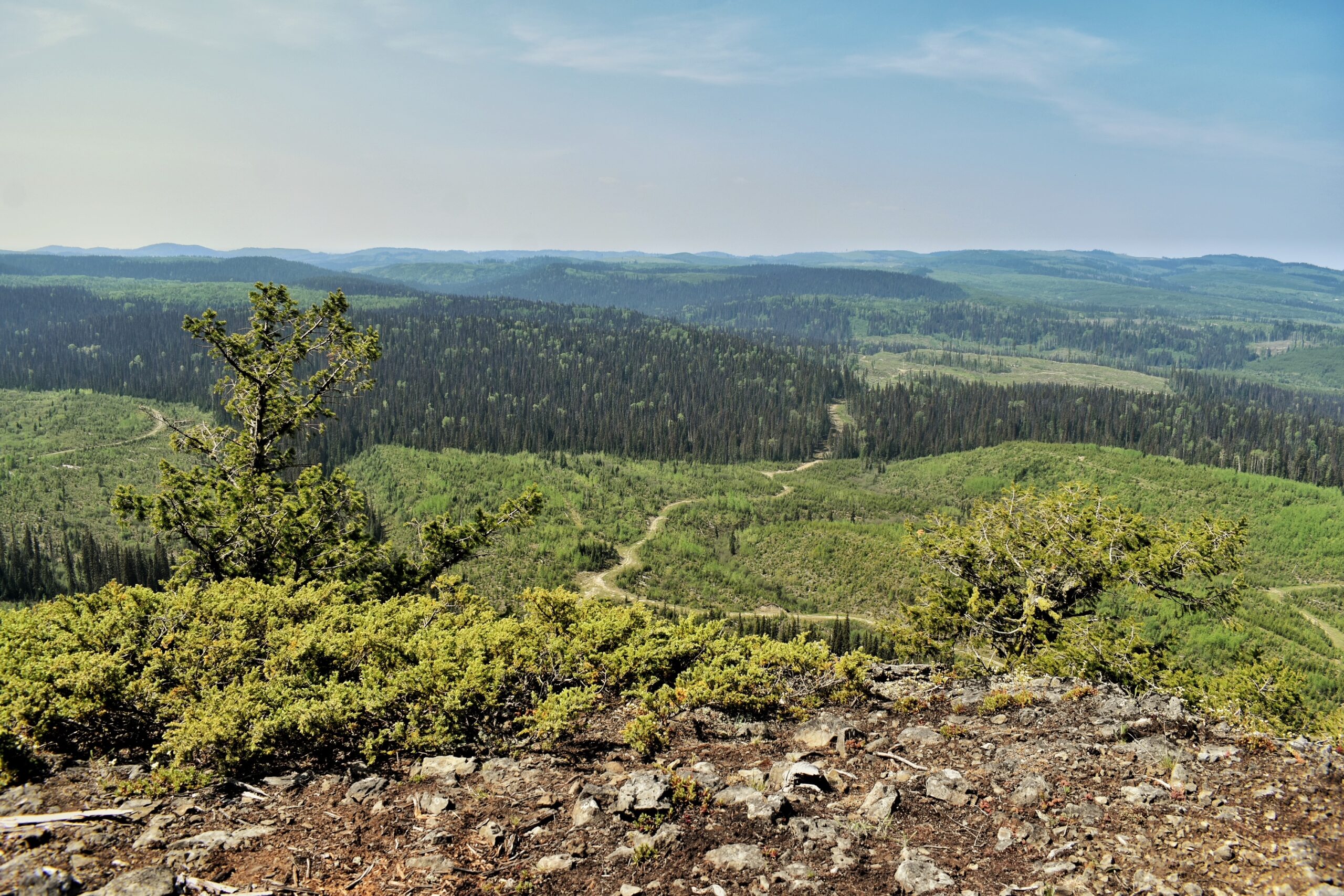
This trail is an ancient volcano and is an easy few-hour hike. There are beautiful views of the surrounding hills and mountains.
Directions to trailhead: Coffee Pot Mountain is about an hour’s drive from Prince George, BC heading north on Highway 97 to the 100 Forest Service Road located across from the Winton Global Mill (before Bear Lake). It is 9.6 km from this turn-off to Coffee Pot. The drive begins by crossing the railway tracks then shortly after a bridge over the Crooked River following the 100 Rd for approx 2km then turning left onto the Davie/Crooked FSR, then an almost immediate right onto the 6503 Rd. Follow the 6503 Rd to 6511 where you will turn left onto an old secondary road (there was a small yellow hiker sign nailed to a small tree on the right side in May 2023). Follow this secondary road for approx. 1.5km to a wide spot on the road suitable for parking. The trailhead is marked with another small yellow hiker sign immediately to the left of the start of the route.
GaiGPS track for the drive from Hwy 97 to Trailhead: here
Distance: 2.94 km
Duration: 0 hours 37 minutes
Elevation Gain: 150 m
Elevation Loss: 140 m
Elevation Max: 1,015 m
Elevation Min: 862 m
Photos:


Videos:
November 2025:
May 2024: