
| 3-day forecast 10-day forecast | Smoke forecast | Avy forecast | |||
| Photo | Trail Name | Hike Date | Trail Status | Comment | Submitted By |
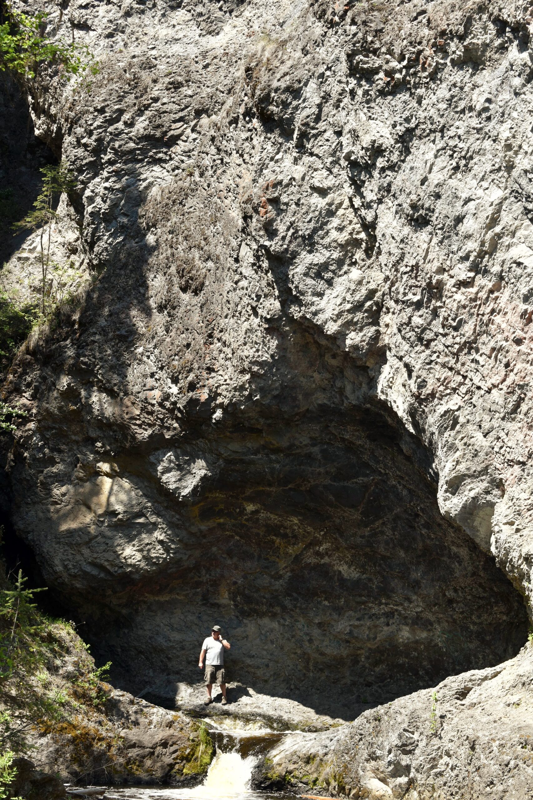
This is a moderate hike, perfect as a quick side trip while in Quesnel. The trail follows Narcosli Creek, then turns up Deserter Creek to impressive waterfalls on Deserter Creek. Note that there is a great swimming hole by the parking area.
Deserters Creek Falls Map
*NOTE: the road has been moved due to recent flooding, so the information may not be accurate at this time, see details from the BC government here
Directions to trail: here
GPX track: here
Distance: 2.89 km
Elevation Gain: 0 m
Elevation Loss: 0 m
Elevation Max: 0 m
Elevation Min: 0 m
GPX track: here
Distance: 2.89 km
Elevation Gain: 0 m
Elevation Loss: 0 m
Elevation Max: 0 m
Elevation Min: 0 m
Photos:


Videos: