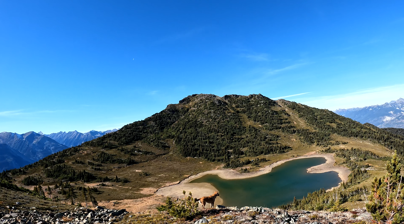
This hike is located a 2.5-hour drive east of Prince George, BC. We drove 20 minutes past the town of McBride BC driving east. There is a turnoff to the south with signs on Highway 16 regarding the community of Dunster, BC. This hike has world-class views. This hike starts at a higher elevation and the trailhead can easily be accessed by a regular car, there is a large sign indicating the trailhead with plenty of parking. The trail is about 6 km to Bob Lake and Uncle Tom’s Cabin with an extra 1 km if you want to climb the ridge to the east which offers world-class views of Dunster to the North, Mt Robson to the North East, and the Raush River and Valley to the South. This trail is especially slippery due to the vast amount of moss, rocks, and roots covering a large portion of the trail so use caution, doubly when you descend as you WILL fall if you do not go slowly.
Directions to trailhead:
Difficulty: Strenuous
Distance: 14 km
Ascent: 1328 meters
Max elevation: 2206 meters
Moving Time: 6 hours 41 minutes
Total Time: 8 hours 24 minutes
GaiGPS Track: here
Photos:


Videos:
October 2023

