
| 3-day forecast 10-day forecast | Smoke forecast | Avy forecast | |||
| Photo | Trail Name | Hike Date | Trail Status | Comment | Submitted By |
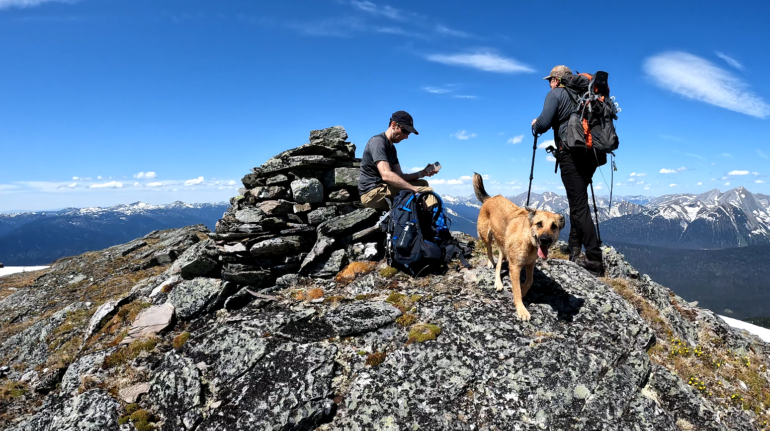
This trail is about a 2-hour drive from Prince George, BC. In this adventure, we hike Erratic Ridge and explore the area up top. The rocks in the area are unique and the views are stunning. On this adventure, we hiked a 17.5 km round trip. It should be noted that there is no developed trail for this hike and it requires route finding and bush-wacking to get to the alpine. There are some flagging markers starting in the forest after leaving the top northeast corner of the clearcut leading towards the alpine. Water sources exist, but not until you reach the alpine lakes and ponds, the lower elevation of the trail does not come close to any water sources though a deep ravine is off to the right of the trail where a stream flows from the alpine. I did not have a cell signal in the area whatsoever but given how far down logging roads this trailhead begins that was no surprise. You will require a 2-way radio programmed for the BC backcountry to navigate this often very busy road as it is one of the most active resource roads in the area with pipeline and logging work ongoing.

Track for the drive into the trailhead from Highway 97: here
Google Maps directions: here
Distance: 12.29 km
Elevation Gain: 1,031 m
Elevation Loss: 271 m
Elevation Max: 1,845 m
Elevation Min: 957 m
Photos:


Videos:
April 2024:
May 2023:
March 2023: