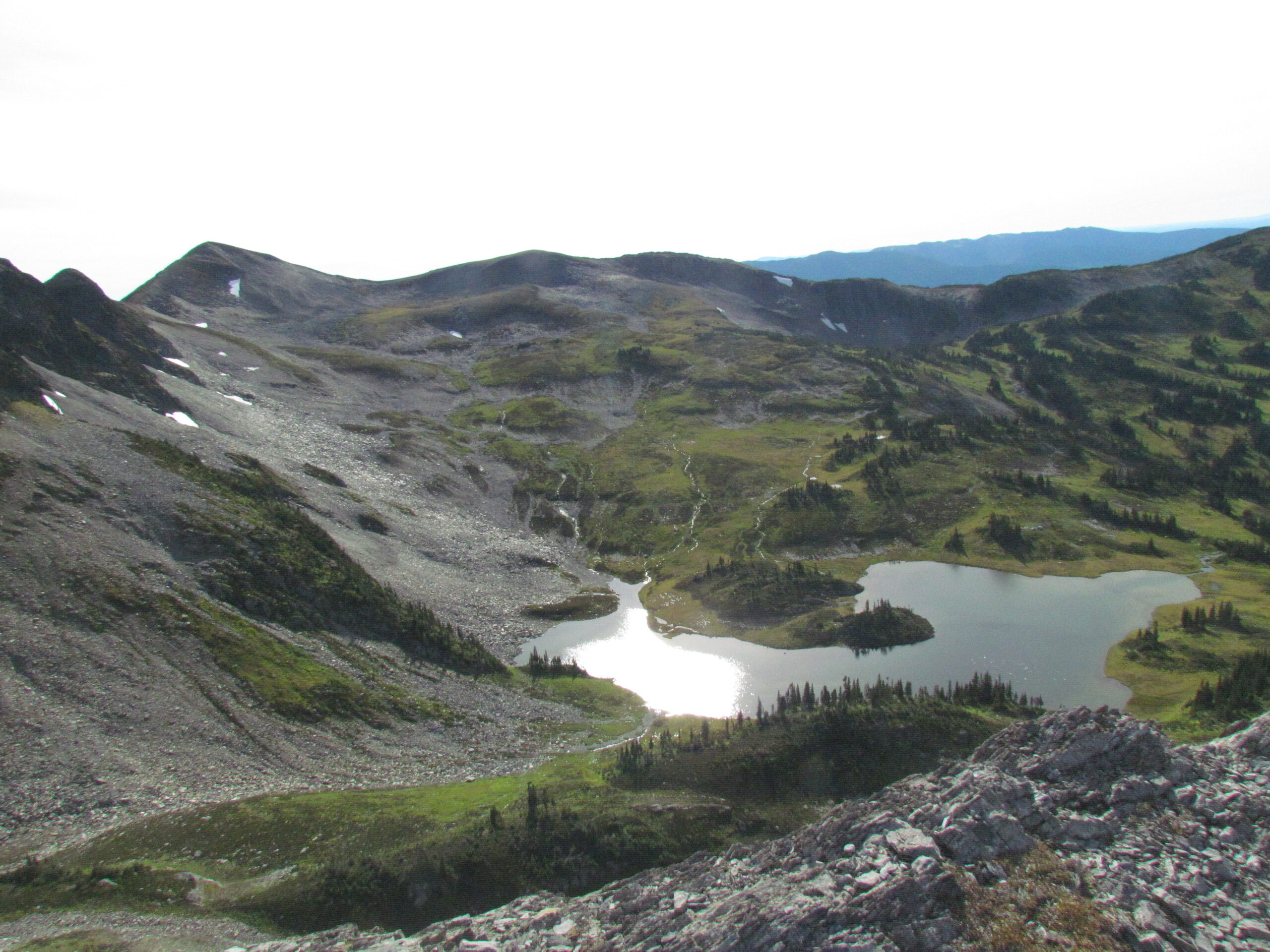
This hike is located about 120km east of Prince George, up the Pass Lake FSR. It’s very steep for the first 3-4 km until you reach the alpine meadow. You can do a big loop around the peak and meadow which is about 1250m cumulative elevation and around a 16 km round trip.
A simpler (and shorter) trail to get up to the Fang summit can be explored: here
Driving Directions: drive down the Pass Lake FSR to around 41 km where you will see signs on the road pointing to the side road leading to the trailhead, directions: here
This video shows an SUV turning off Pass Lake Road and driving to the trailhead:
Videos:
Photos:


