
| 3-day forecast 10-day forecast | Smoke forecast | Avy forecast | |||
| Photo | Trail Name | Hike Date | Trail Status | Comment | Submitted By |
 | Fraser Mt in Fraser Lake, BC | 2025-Dec-02 | Icy/Snow | The trail has snow from bottom to top with slightly increasing amounts at the top. We did not need to wear snowshoes but micro spikes were key due to several icy/steep sections. | Mark Vejvoda |
 | Fraser Mt in Fraser Lake, BC | 2025-Jun-22 | Dry | Fraser Mountain - June 22, 2025 - 14.5km including the side trail to the cave/cliff, 4.5 hours in total including breaks. | |
| Fraser Mt in Fraser Lake, BC | 2025-May-01 | Variable | There is a bit of snow in spots on trail to the caves but trail is in great shape. | Mark Vejvoda | |
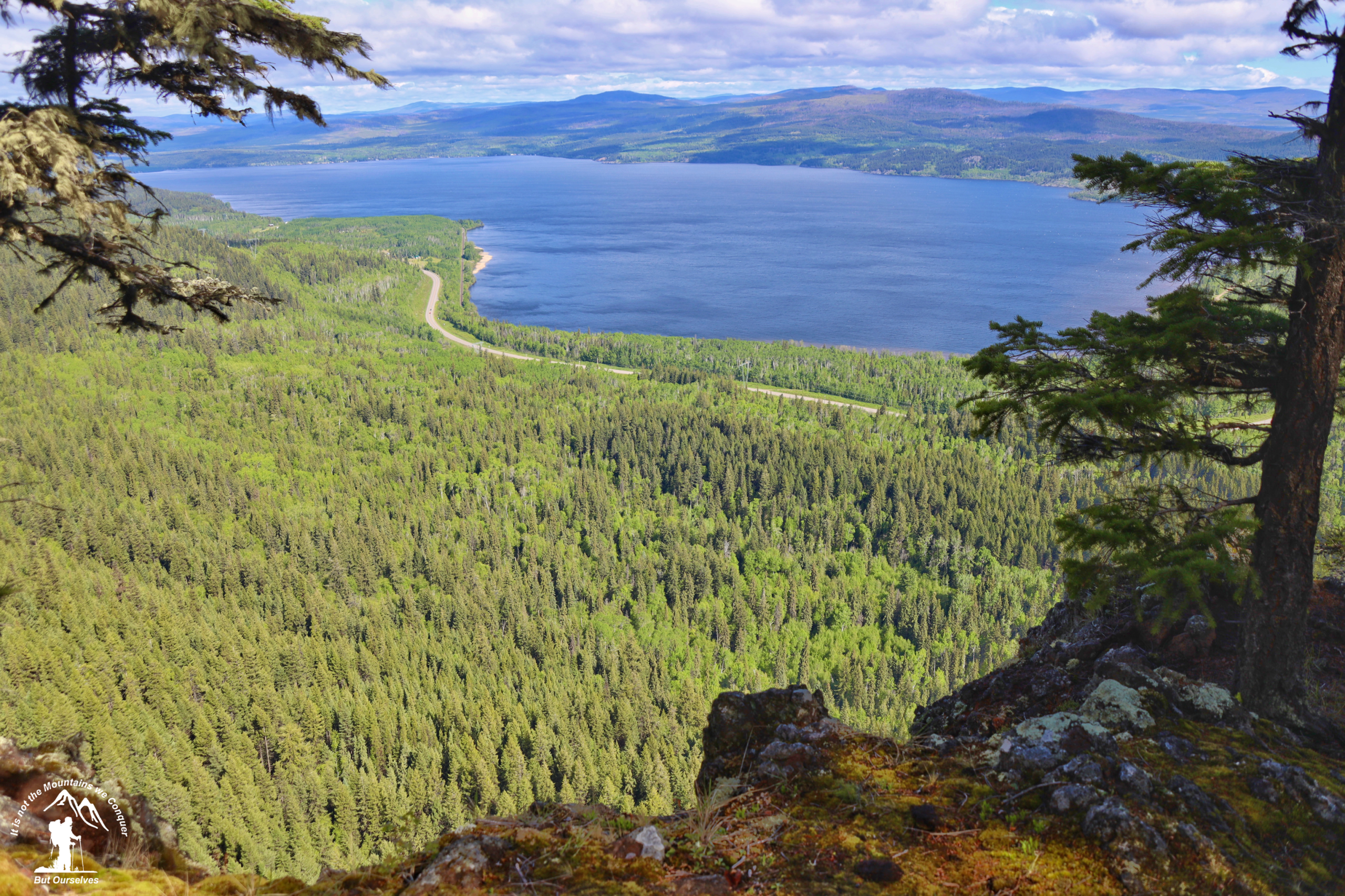
This trail climbs from Hwy 16 to the top of Fraser Mountain which is an elevation change of over 300m. The main trail is 4.7 km long and the spur trail to the cave and bluffs is 1.4 km long. The spur trail terminates at a viewpoint that is at the top of the bluff that can be seen from the Highway. There is a cave located on this trail. Look for a second trail off to the left of the spur trail. Caution: steep bluffs, deep holes, and crevasses located throughout this area.
GPX track: here
Distance: 16.27 km
Duration: 3 hours 54 minutes
Elevation Gain: 906 m
Elevation Loss: 894 m
Elevation Max: 1,152 m
Elevation Min: 678 m
Photos:


Videos:
December 2025:
May 2023: