
| 3-day forecast 10-day forecast | Smoke forecast | Avy forecast | |||
| Photo | Trail Name | Hike Date | Trail Status | Comment | Submitted By |
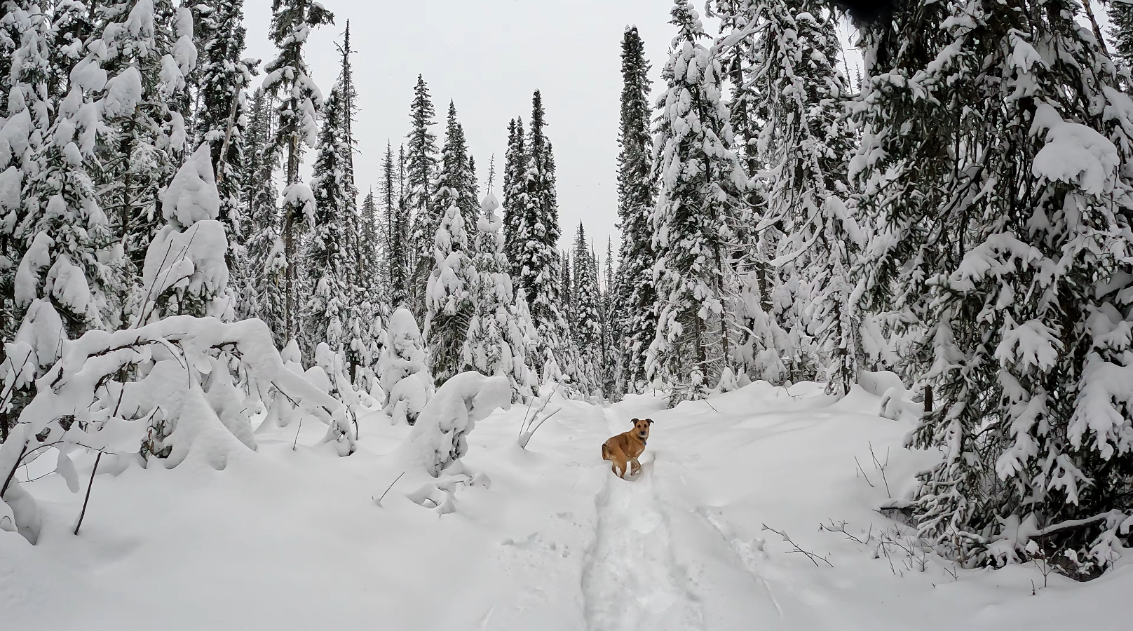
 | Giscome Portage in Northern BC | 2026-Jan-15 | Snowshoe Packed | We packed the trail from the Huble homestead road to the Tae Creek bridge. The snow conditions were not good and the crusty layer was only supportive sometimes. The local Moose post holed much of the rail making it hard to walk flat, but we persevered and now the trail is packed end to end since we packed the north end a week ago. | Mark Vejvoda |
| Giscome Portage in Northern BC | 2026-Jan-07 | Snowshoe Packed | The north end of the trail is snowshoe packed from Summit Lake to the Tae Creek bridge, snow conditions were quite challenging but on the way back the trail was well packed and the going was very good as the snow was settling. | Mark Vejvoda | |
Giscome Portage Trail is a designated Heritage Trail that is located 40 km north of Prince George and 6 km off Highway 97 North on Mitchell Road. The Giscome Portage is a route approximately 8.5 km in length, crossing the Continental Divide, which separates the Pacific and Arctic watersheds and provides a link for north and south water-bound travelers.
GPX track: here
Distance: 17.86 km
Duration: 4 hours 39 minutes
Elevation Gain: 202 m
Elevation Loss: 243 m
Elevation Max: 737 m
Elevation Min: 660 m
Photos:


Videos:
January 2024:
December 2023:
I’m glad you guys show this.. its awesome.. this summer ppl were in n cutting the dead fall over trails. The bridge at Tae creek is tip of our acreage..the creek runs right thru our land n so does the trailers along the gas line.. I love summers out there.