
| 3-day forecast 10-day forecast | Smoke forecast | Avy forecast | |||
| Photo | Trail Name | Hike Date | Trail Status | Comment | Submitted By |
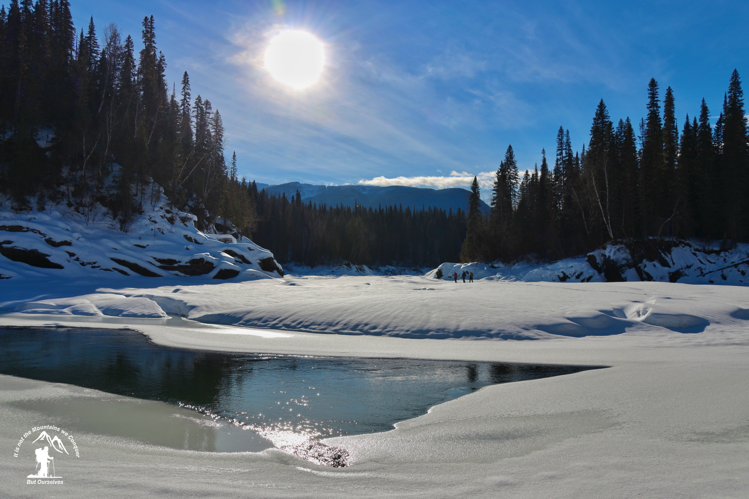
| Grand Canyon of The Fraser in Northern BC | 2025-Dec-29 | Snowshoe Packed | We snowshoe packed the trail to the Fraser, but didn't turn at the right spot to head down the banks of the Fraser further. Kenneth Creek was crossable but had sections showing water and other sections frozen over. | Mark Michael Vejvoda | |
Description:
The Grand Canyon is a moderate hike from Highway 16 to the Fraser River and consists of two routes, 1. summer and 2. winter. The winter route is best attempted in mid-January to mid-March when there is plenty of snow and, most importantly, Kenneth Creek is frozen. The trail follows an old logging road from Highway 16 north to Kenneth Creek. There are nice glades through spruce bogs to the east of the old road, but the route may lack trail markings. Cross Kenneth Creek and follow ribbons through a poplar forest to the Fraser River. Walk down the river, being careful not to venture out onto thin ice, for 2-3 km to the canyon.
Driving Directions: Summer: here Winter: here
Stats:
GPX track: here
Distance: 6.24 km
Elevation Gain: 64 m
Elevation Loss: 0 m
Elevation Max: 695 m
Elevation Min: 614 m
History:
Click here to read about the history of this trail
Photos:


Videos:
December 2025: