
| 3-day forecast 10-day forecast | Smoke forecast | Avy forecast | |||
| Photo | Trail Name | Hike Date | Trail Status | Comment | Submitted By |
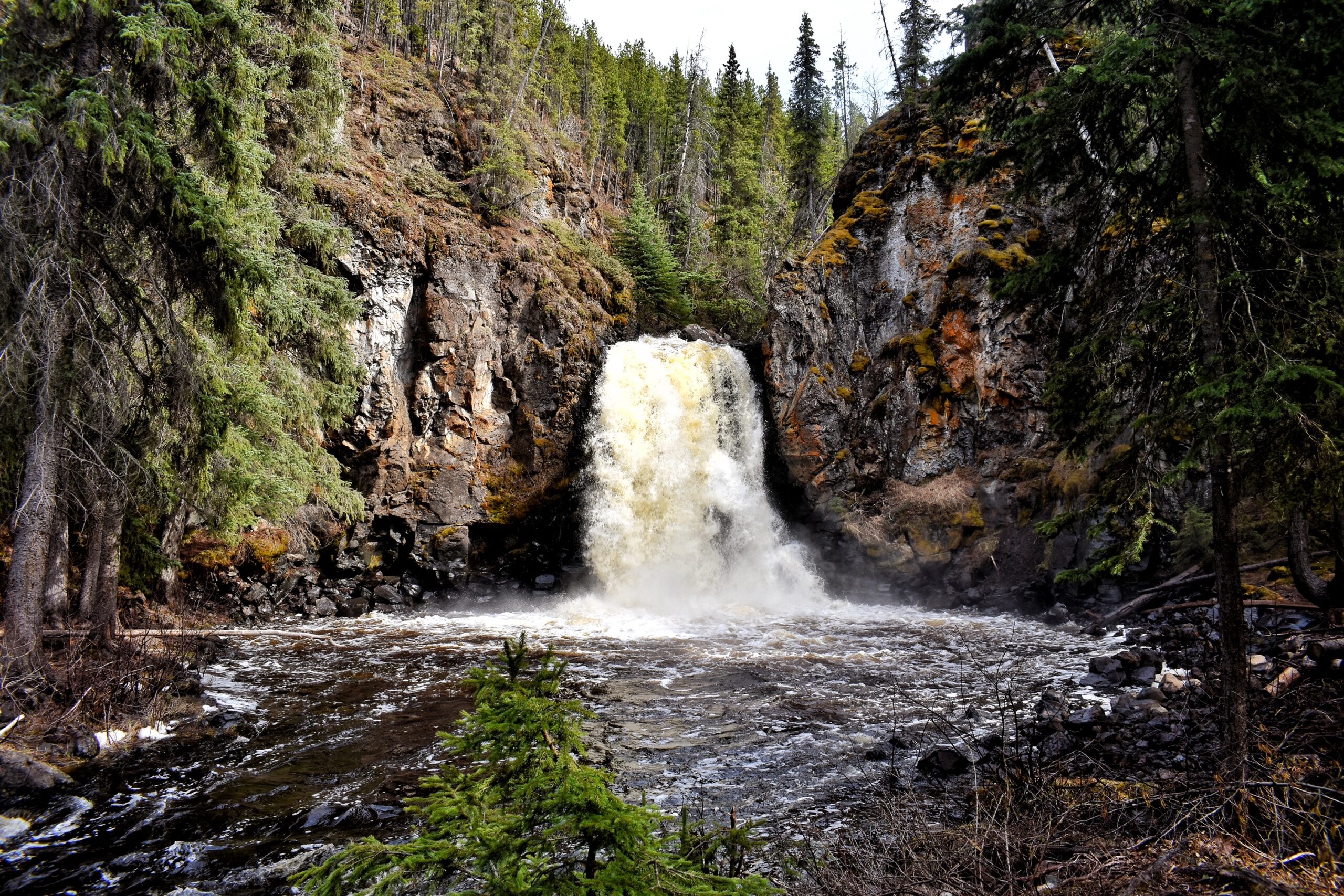
A scenic waterfall at the end of the 1.7 km Greer Creek Falls Trail. A good family picnic spot but beware of steep sections with drop-offs.
Driving Directions: The Greer Creek Falls Trail Head is located at 37.5 km on Kluskus Forest Road: here
Greer Creek Falls Map
GPX track: here
Distance: 1.91 km
Elevation Gain: 0 m
Elevation Loss: 0 m
Elevation Max: 0 m
Elevation Min: 0 m
Distance: 1.91 km
Elevation Gain: 0 m
Elevation Loss: 0 m
Elevation Max: 0 m
Elevation Min: 0 m
Photos:


Videos:
April 2024: