
| 3-day forecast 10-day forecast | Smoke forecast | Avy forecast | |||
| Photo | Trail Name | Hike Date | Trail Status | Comment | Submitted By |
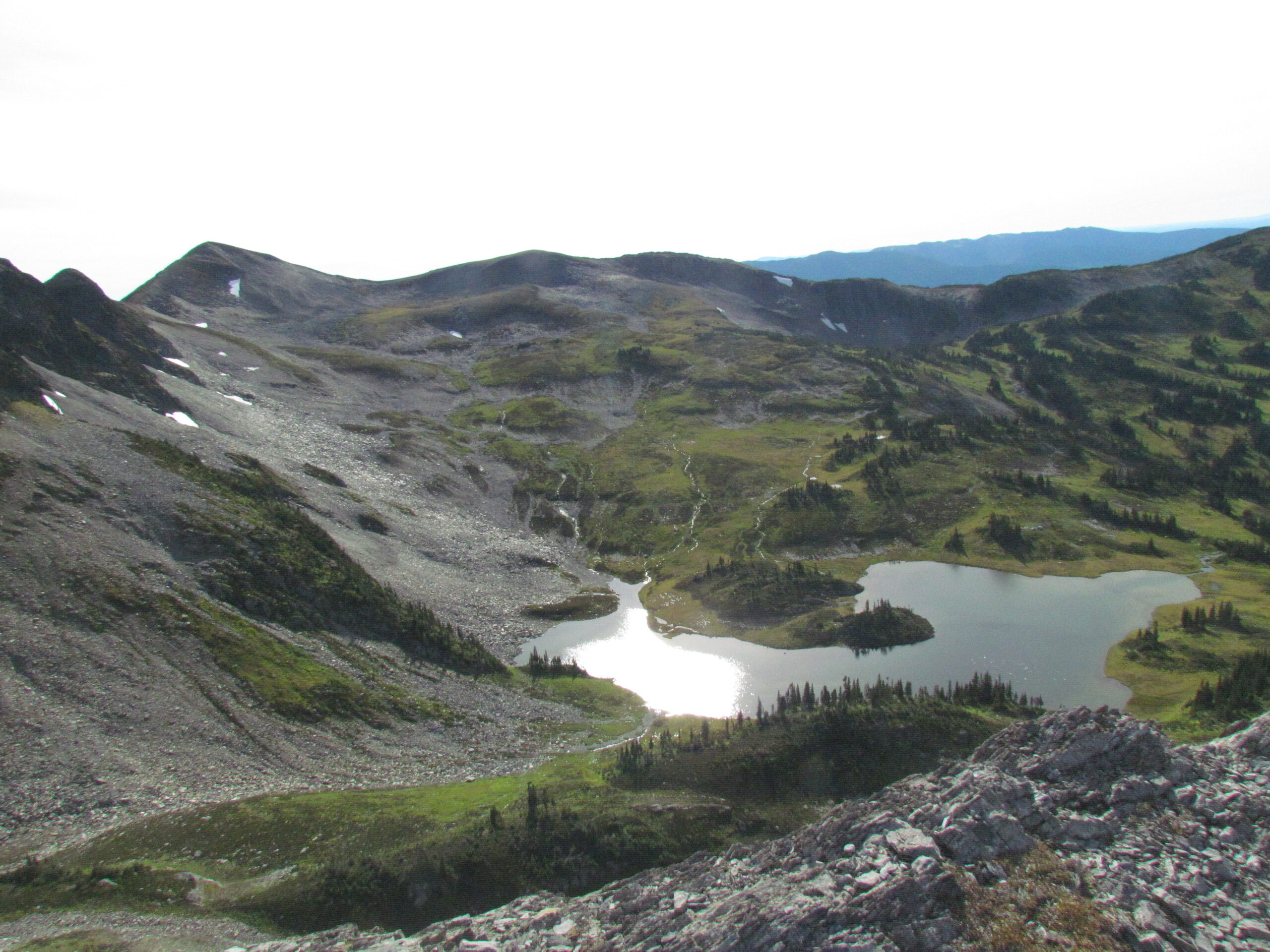
| Fang Mt Trail in Evanoff Provincial Park BC | 2025-Jul-23 | Variable | We hiked up the Torpy Trail and down the Fang Trail in one go. Both trails are in pretty good shape with some muddy/wet sections here and there. | Mark Vejvoda | |
 | Fang Mt Trail in Evanoff Provincial Park BC | 2025-Jun-29 | Variable | Was there last weekend. | |
This hike is located about 120km east of Prince George, up the Pass Lake FSR. It’s very steep for the first 3-4 km until you reach the alpine meadow. You can do a big loop around the peak and meadow which is about 1250m cumulative elevation and around a 16 km round trip.
A simpler (and shorter) trail to get up to the Fang summit can be explored: here
Driving Directions: drive down the Pass Lake FSR to around 41 km where you will see signs on the road pointing to the side road leading to the trailhead, directions: here
This video shows an SUV turning off Pass Lake Road and driving to the trailhead:
Distance: 8.21 km
Elevation Gain: 0 m
Elevation Loss: 0 m
Elevation Max: 0 m
Elevation Min: 0 m
Videos:
July 2025:
Sept 2011:
Photos:


