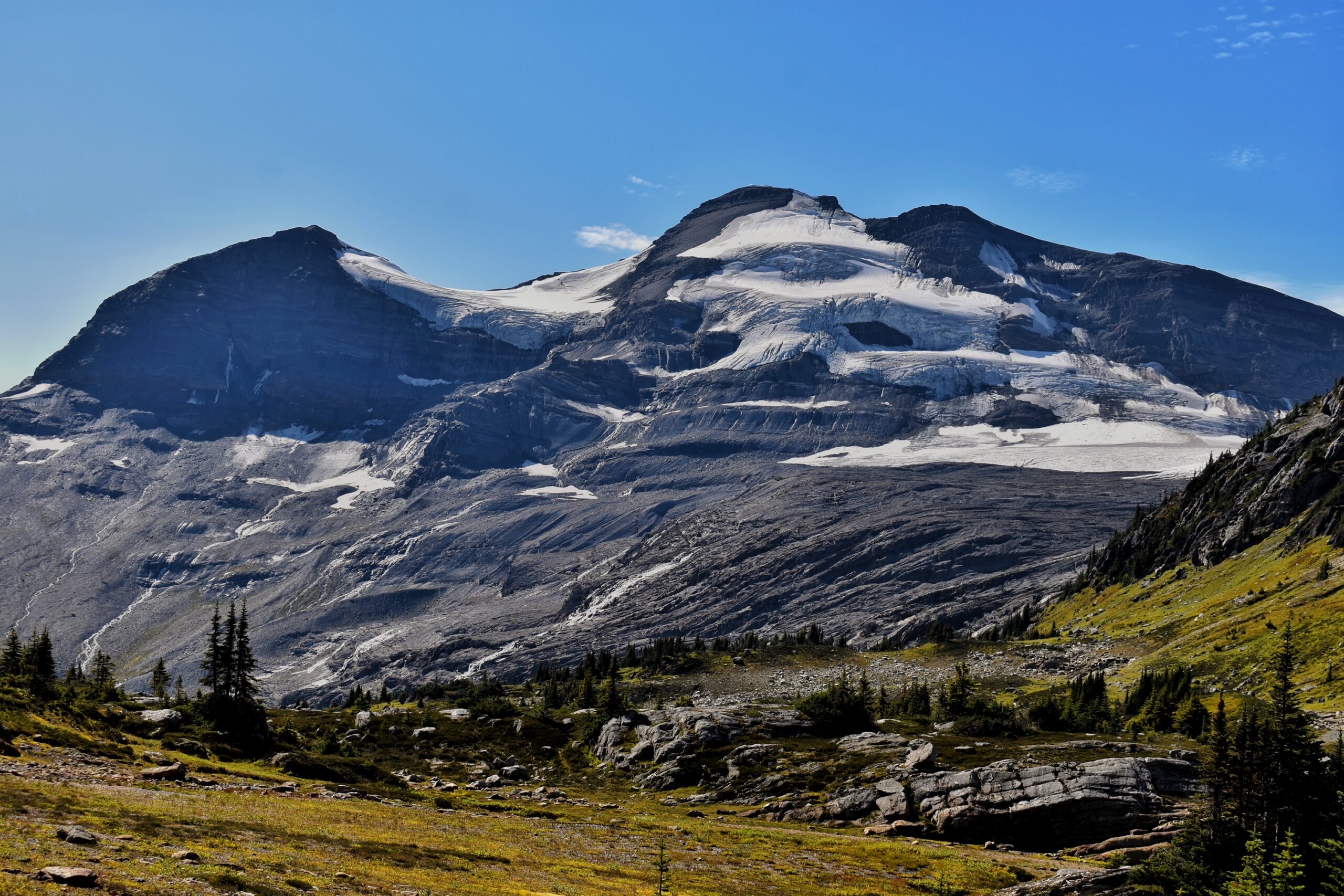
This trail heads up a valley, along the trail is a scenic waterfall and alpine meadows. Above the Pass, on both sides, are magnificent views of icefields with the Kristi Glacier located to the west. At the end of the trail (3 km past the pass) are campsites with camp pads.
Driving Directions: From the city of Prince George, drive Highway 16 East about 200 km and turn right onto Lamming Pit Road (7 km west of McBride). Alternatively, you can turn right on Dore River Rd located 5 km west of McBride if you miss the first turn off. If turning onto Lamming Pit Road, travel 2 km till it reaches Dore River Rd and turn right. From 6.3 km there is a slight right, keep right to continue along the Dore River Road. Continue for another 7.7 km till you reach a junction, then keep right and travel another 7.8 km where the bridge has been removed at a creek crossing. Park at this point.
Photos:


Videos:
July 2024:
Drive around the Dore River FSR:

