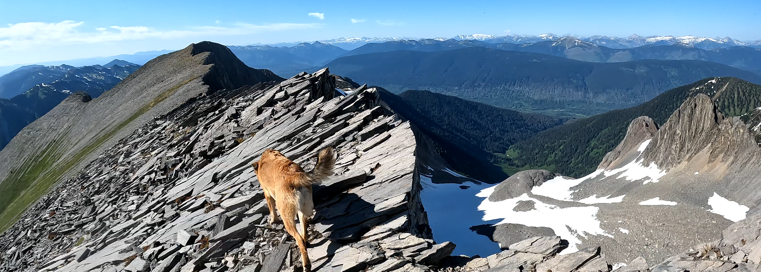
In this hike we climb the Baldy Mountain Trail in Northern BC, just past the community of Longworth BC.
Driving info: https://www.google.com/maps/d/edit?mid=13vveXu7Zx5xvPNnOXBk_wNkM1wGr6C4&usp=sharing Hike track
GaiGPS: https://www.gaiagps.com/map/?loc=13.3/-121.3943/53.9214&pubLink=Avb4Lp0GiTny0Xqpg2Ld7xEM&trackId=fae1ec19-7d9a-42b1-9048-bdf04345ce5c
GPX File: https://vsoft.solutions/hiking/GPS/baldy-track-2023-06-07-125908-pm.gpx
There is virtually no water on this trail, except for a sometimes non-existent water hole a little over 1/2 way up as shown in the video. The last 2 times I hiked this trail we got flat tires on this road so be prepared for that as the rocks are larger and sharper on this section of the logging road past Longworth BC.

