A person was up to the snow line at 8km yesterday. So a little ways to go yet
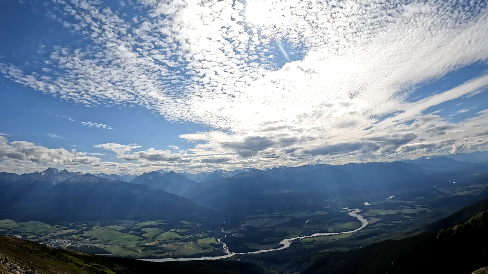
This hike is located a 2.5-hour drive east of Prince George, BC. Continue east through McBride past the Fraser River bridge and follow the signs on Hwy 16 pointing to McBride Mountain Trails. The hike has great views which offer many options to hike ridgelines for hours (possibly days) heading west, north, and east. We hiked about 10+ km into some alpine lakes. The road leading up to the trailhead can be driven for the first 4-5 km in a regular car, however after that, the last 5 km requires a high clearance 4×4 vehicle but it does lead right into the alpine. There are some lakes and Sunbeam Creek but all are at lower elevations so unless you plan to hike down to water sources, be sure to bring plenty of water for your hike. The cell signal was quite good for most of the hike. There is a waterfall off the road up to the trailhead called ‘Rainbow Falls’ which can also be explored in this area.