Mount Fitzwilliam trailhead and parking lot are located 54 km east of the Mount Robson Park Visitor Centre on Highway 16. Information shelter, parking and pit toilets are located on the shores of Yellowhead Lake. From there, cross to the south side of the highway and travel west along the pipeline right of way for 1.2 km. Please register at the small info shelter located here before leaving the pipeline on the trail proper.
There are numerous switchbacks for the first two kilometres. At approximately 3.2 km the trail flattens somewhat. The first campsite is located 7.2 km up the trail along Rockingham Creek. A beautiful treed site with views of Mount Fitzwilliam. At this point, one has gained 600 metres in elevation. Six tent pads, a pit toilet and a bear pole are located here.
After crossing the bridge over Rockingham Creek, the trail heads east around the base of Mount Fitzwilliam. The trail up to the main campsite on Rockingham Creek is a good hard surface trail while the trail beyond that point is rough, not very well defined and can be very wet early in the season and during rainy periods.
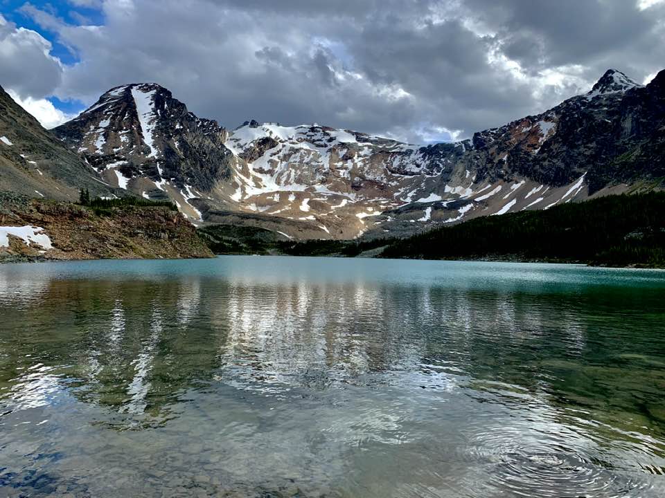
After going through open meadows, skirting the bottom of a rock slide the trail will come to a headwall at kilometre 11. Follow the trail markers up the left side of the gully. Caution should be used in this area. Slippery rocks and rockfall can at times be a hazard. An additional 2.5 km will take one to the wilderness campsite located at the north end of the first alpine lake. A bear pole, open pit toilet and three tent pads can be found here. There are several excellent day hikes available from this point.
Driving Directions: here
Photos:


Videos:
October 2024:
July 2024:

