
| 3-day forecast 10-day forecast | Smoke forecast | Avy forecast | |||
| Photo | Trail Name | Hike Date | Trail Status | Comment | Submitted By |
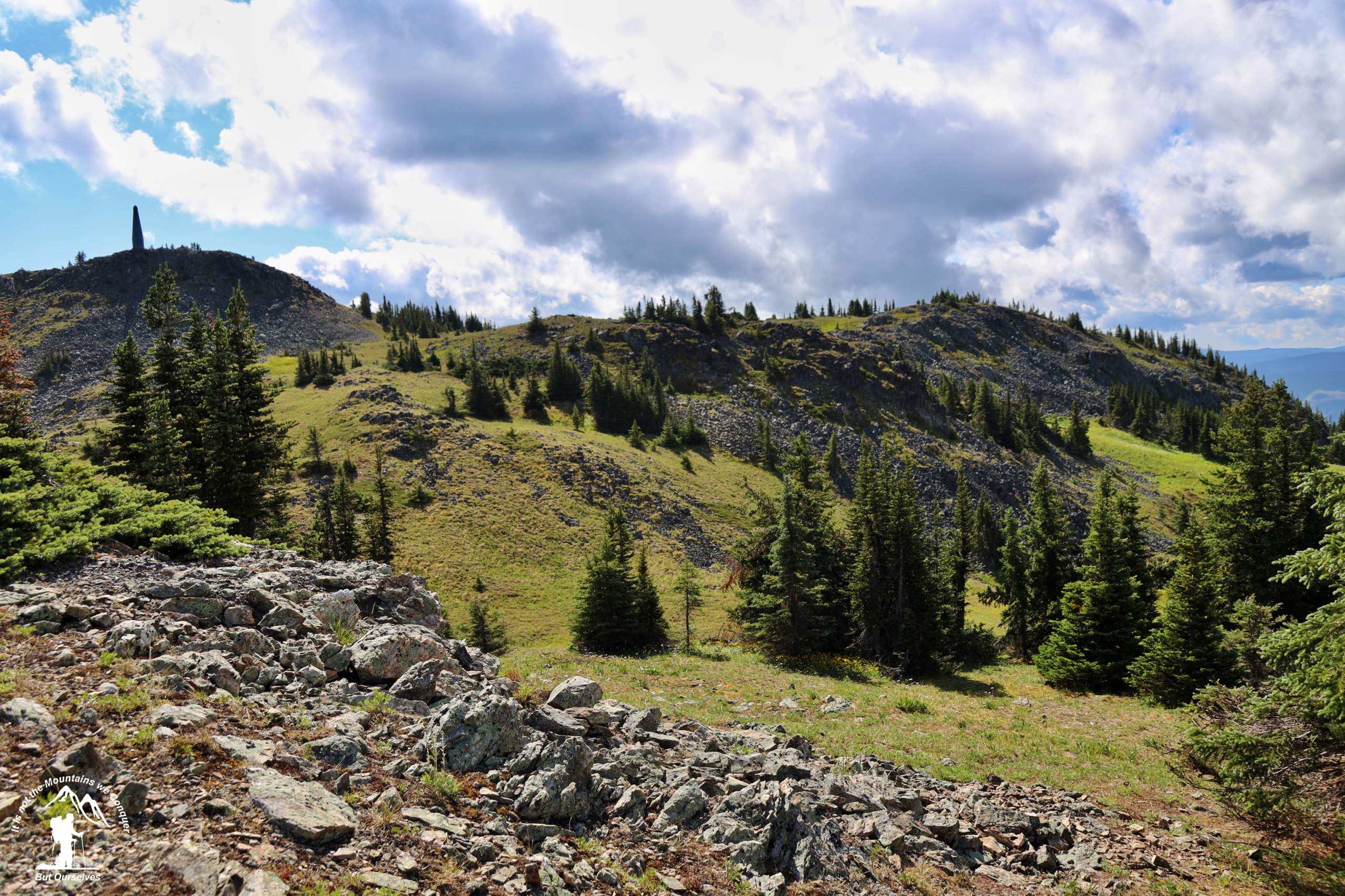
This hiking trail utilizes old logging and mining trails and then climbs up the north bank of Jubilee Creek into a large alpine bowl. The latter part of the route is a very steep climb up open alpine slopes to reach a tiny lake on the shoulder on the south side of the bowl. A short walk up the gully across the lake will take hikers to the highest point on Mt. Murray for a magnificent 360-degree panorama. This trail also has the option to branch off onto the Yellowhawk trail.
Mt Murray Jubilee in Wells, BC
Driving Directions: here
GPX track: here
Distance: 5.21 km
Elevation Gain: 0 m
Elevation Loss: 0 m
Elevation Max: 0 m
Elevation Min: 0 m
Distance: 5.21 km
Elevation Gain: 0 m
Elevation Loss: 0 m
Elevation Max: 0 m
Elevation Min: 0 m
Photos:


