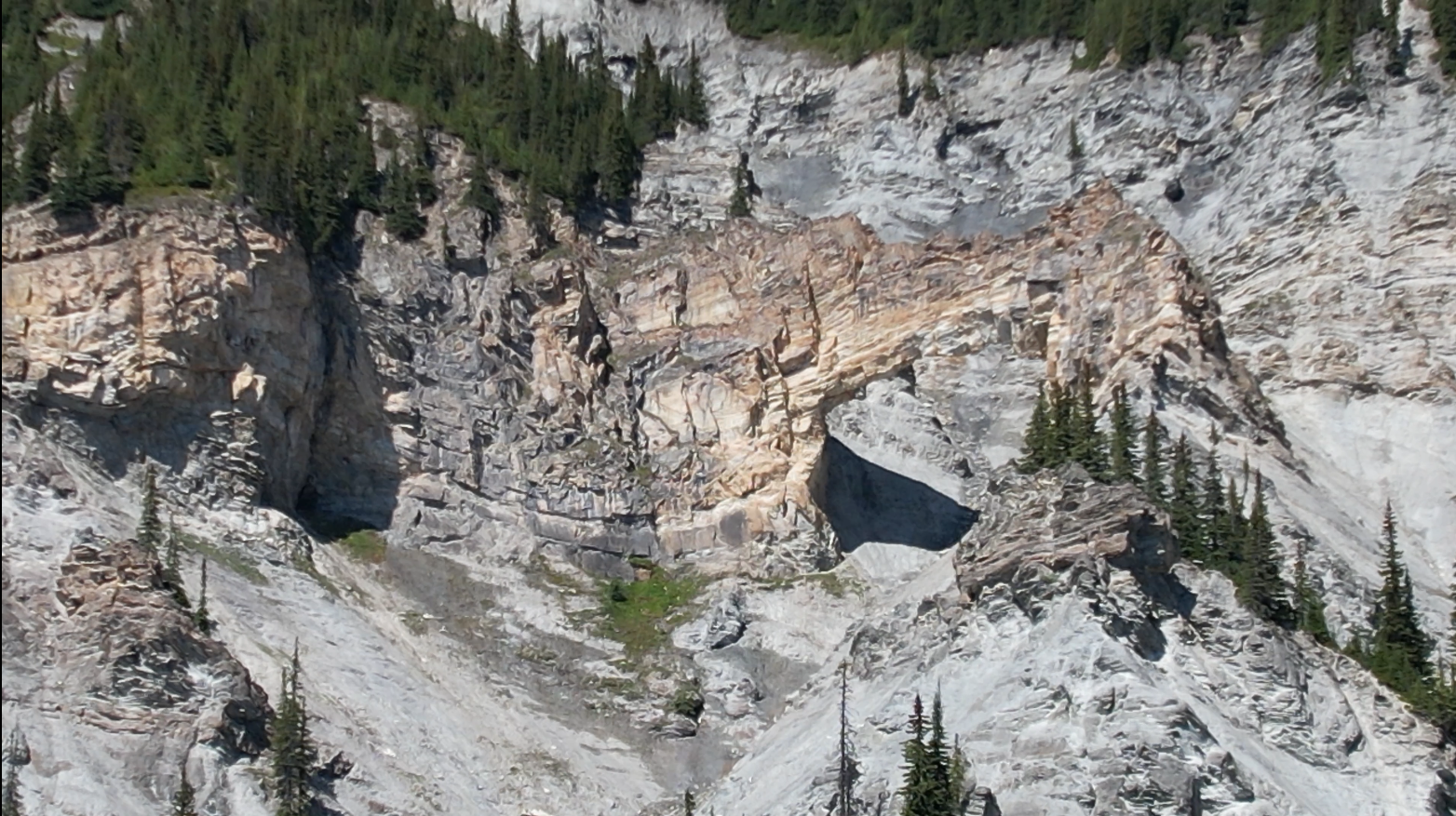
This hike is located a 2.5-hour drive east of Prince George, BC. We drove 20 minutes past the town of McBride BC (in the community of Dunster) driving east. There is a rest area called the Baker Creek Rest area on the right side with 2 bathrooms, the next left after this rest area is the road to the Stone Arch trailhead (there are no signs and the road is paved at the start). This hike has incredible views. The first 4 km are mostly flat with up/down sections but once you cross the holiday/baker creek, the next 2 km are VERY VERY steep! The crossing of the creek at around 4 km is the last chance to get water. Cell signal was spotty until reaching higher elevations near the Stone Arch. Mountain goats are common in this area and can be seen in the steep country around the Stone Arch.
Directions to trailhead: here
Difficulty: Very Strenuous
Distance: 13 km
Ascent: 1070 meters
Max elevation: 1877 meters
Moving Time: 5 hours 48 minutes
Total Time: 8 hours 19 minutes
GaiGPS Track: here
Photos:


Videos:
August 2023
Tesla Prince
Trekking with Taz

