
| 3-day forecast 10-day forecast | Smoke forecast | Avy forecast | |||
| Photo | Trail Name | Hike Date | Trail Status | Comment | Submitted By |
 | Paradise Ridge in McBride BC | 2026-Feb-21 | Snowshoe Packed | Trail was mostly clear of snow for first 2 km but also had lots of post holing. We cut a trail through the steep narrow trail with out snowshoes and it should be noted the last several hundred meters are avalanche terrain and somewhat terrifying to cross. Make sure avy forecast and weather conditions are in your favour before trying this summit. | Mark Vejvoda |
 | Paradise Ridge in McBride BC | 2025-Apr-05 | Snowshoe Packed | T&T Adventures summited Paradise Ridge in some very sloppy and slushy conditions. Avalanche risks are higher this time of year and snow conditions change drastically throughout the day. | Mark Vejvoda |
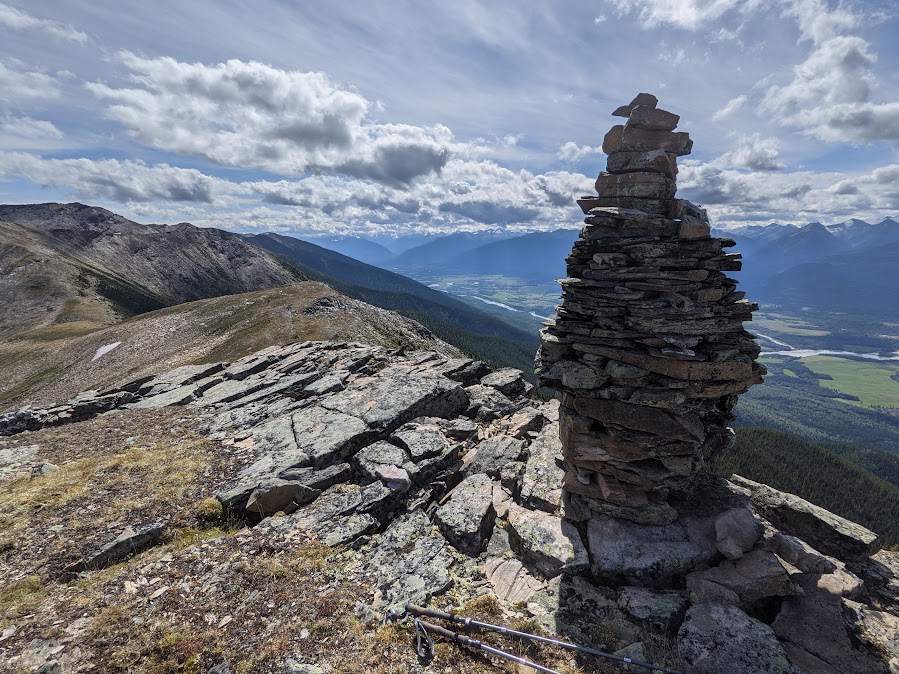
This trail is about 2.5 hours east of Prince George, BC in the lovely community of McBride, BC. In this adventure, we hike up Paradise Ridge. The trail starts right off of Mountainview Road with a trailhead sign indicating Paradise Ridge (on the right or north side of the road) where there is a parking area. There is very little water on this hike (crossing a few seasonal streams) and the cell signal was off and on depending on elevation (working near the bottom and the top). Mountain goats are sometimes encountered in this area!
GPX track: here
Distance: 18.10 km
Elevation Gain: 1,376 m
Elevation Loss: 1,337 m
Elevation Max: 2,152 m
Elevation Min: 776 m
Photos:


Videos:
February 2026:
April 2025:
March 2024:
Sept 2023: