
| 3-day forecast 10-day forecast | Smoke forecast | Avy forecast | |||
| Photo | Trail Name | Hike Date | Trail Status | Comment | Submitted By |
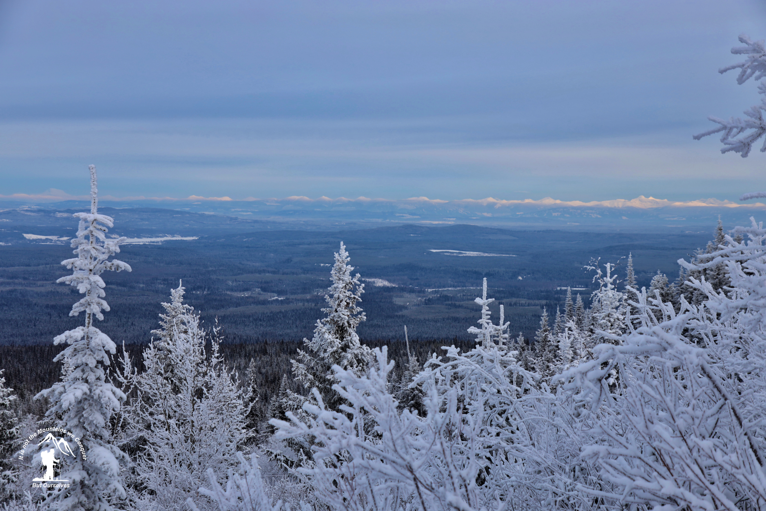
The Tabor Mountain area has many trails of various levels of difficulty to enjoy, including this moderate Tabor Tower trail.
Tabor Tower Map
Directions to trail: here
GPX track: here
Distance: 12.73 km
Elevation Gain: 593 m
Elevation Loss: 590 m
Elevation Max: 1,261 m
Elevation Min: 787 m
GPX track: here
Distance: 12.73 km
Elevation Gain: 593 m
Elevation Loss: 590 m
Elevation Max: 1,261 m
Elevation Min: 787 m
Photos:


Videos:
January 2024: