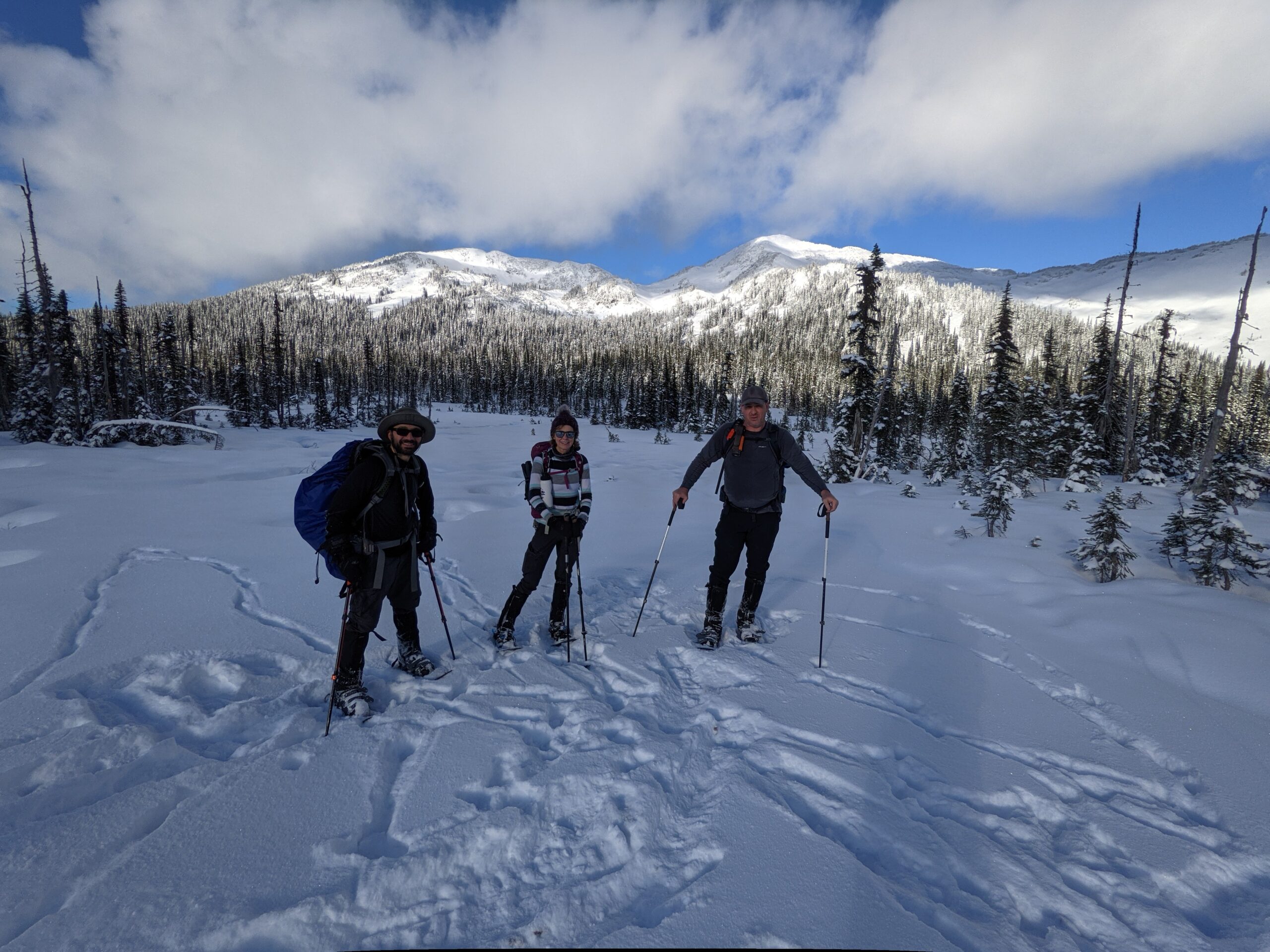
This hike took us 3.5 hours from the parking lot to the cabin and 2 hours back down. This hike is a 2-hour drive from Prince George and starts left on the side of the Pass Lake Forest Service Road.
Directions to trailhead: Driving Directions here
GaiGPS track: here
Difficulty: Moderate/Strenuous
Distance: 10.1 km
Ascent: 770 meters
Max Elevation: 1503 meters
Moving time: 4 hours 27 minutes
Total time: 5 hours 38 minutes
Photos:


Video of this hike:

