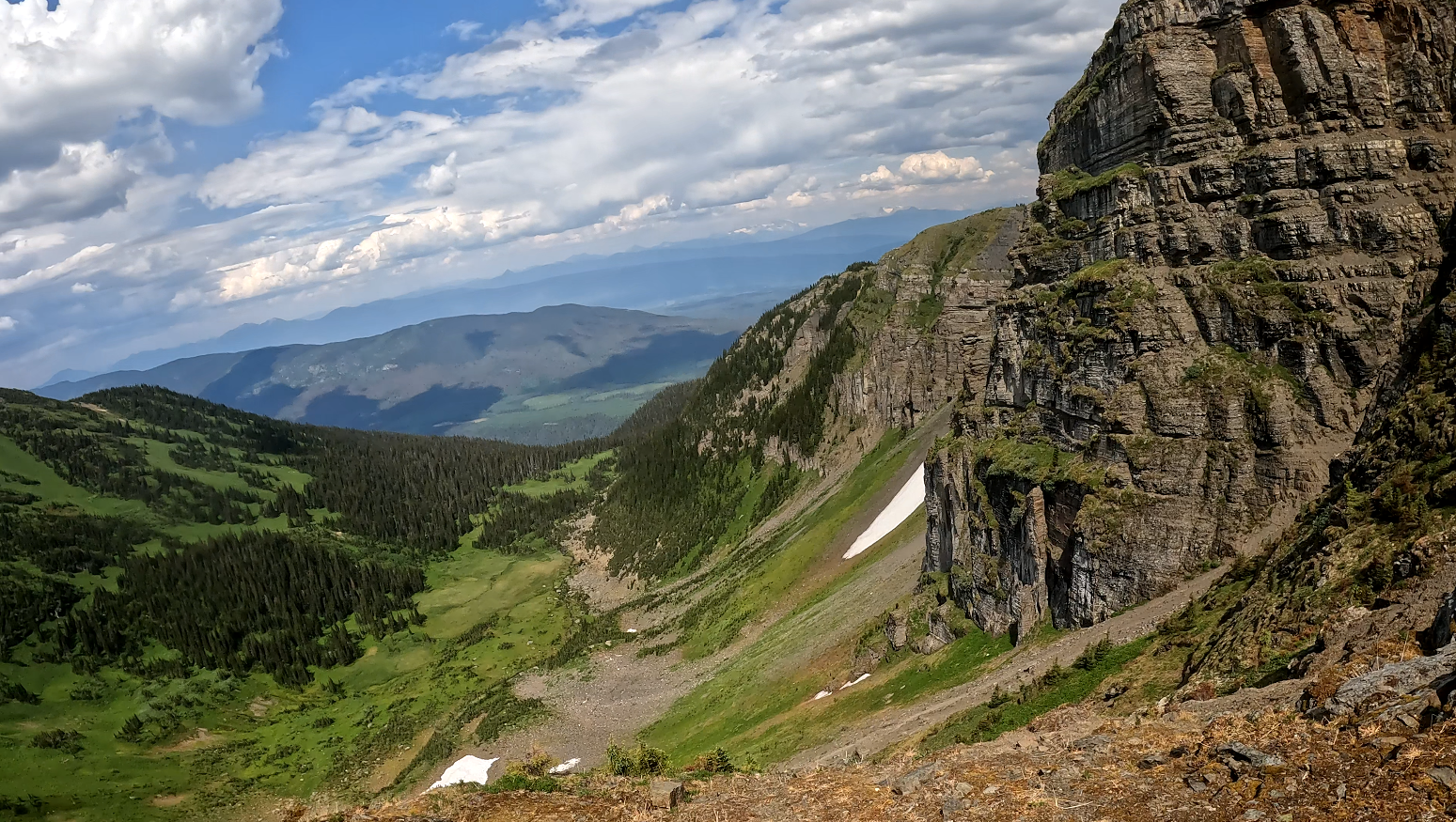
This hike is located a 2-hour drive east of Prince George, BC. I drove south from Highway 16 down the Bowron Forest Service Road for around 20 km, then turned left onto the Tumuch Forest Service Road and drove around 50 km more until reaching the spur road which displayed the yellow Vineyards trail sign. This hike has spectacular views and offers many options to hike ridgelines for hours (possibly days) heading eastward. I hiked about 6+ km one way where I found amazing views of 2 higher elevation alpine lakes feeding into a larger lower, but larger lake. The first section moves through bushy willows but then turns up towards meadows in a steep climb that rewards with amazing views and flat meadows after a short climb. After reaching the first meadows water can be found down the hill to the left (see video below) and various lakes exist between the peaks as you hike but be prepared for strenuous climbs down valleys and then back up if you need water from those lakes. The first meadow is the last easy chance to get water. Cell signal was not available until reaching some of the summits and was weak.
Directions to trailhead: in 2 parts because Google Maps won’t route the best road to the trailhead:
Part 1 (highway): here
Part 2 (logging roads): here
Part 3 (the drive up the spur road to the trailhead): here
Difficulty: Moderate
Distance: 12.7 km
Ascent: 891 meters
Max elevation: 2057 meters
Moving Time: 3 hours 51 minutes
Total Time: 4 hours 13 minutes
GaiGPS Track: here
Be sure to check out Jab Falls as well: here
Photos:


Video:
June 2024:


Is the Vineyards hike also known as Caledonia Mountain? I’m having a tough time finding the hike on Alltrails and Gaia.
No the Vineyards is a different hike from Caledonia Mountain. We have not yet hiked Caledonia Mountain but its trailhead is a little bit past the trailhead to Vineyards so its in the same area. The Caledonia Mountain trail is located here: https://www.gaiagps.com/map/?loc=12.9/-121.3386/53.6503&pubLink=qhEYyvM78Aic9qGS8R7bK7eH&trackId=b7683594-6c20-4782-bd0c-bedfc287bf62