
| 3-day forecast 10-day forecast | Smoke forecast | Avy forecast | |||
| Photo | Trail Name | Hike Date | Trail Status | Comment | Submitted By |
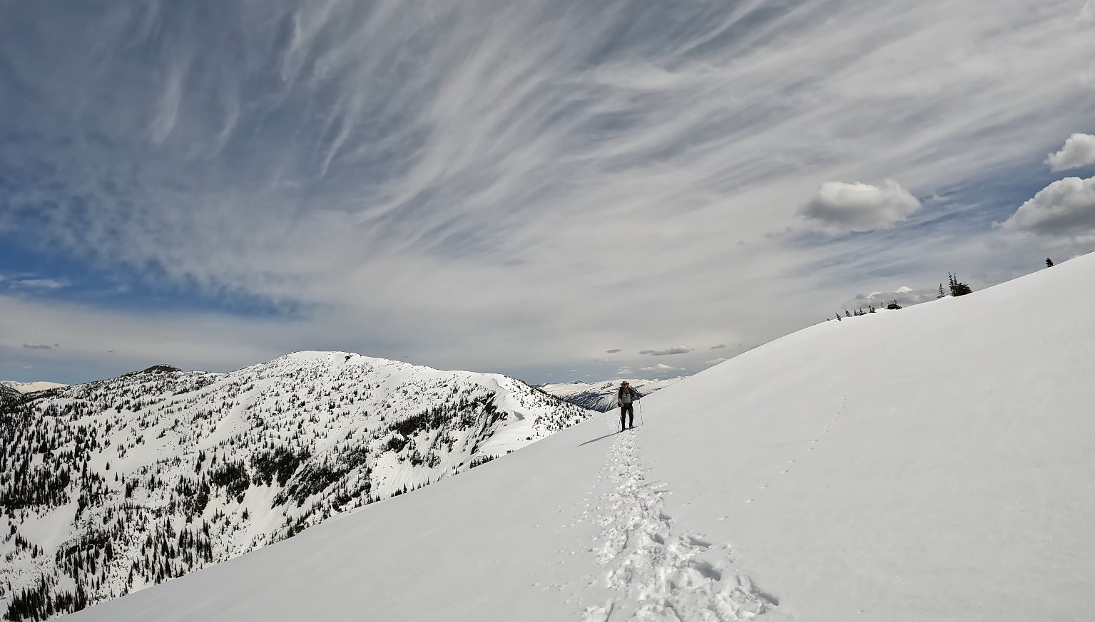
This trail is about 2 hours drive from Prince George, BC. There are water sources for most of the hike up as you cross creeks a number of times. I did have a cell signal but only near the summit where we had a clear point of view towards Longworth Mt. We hiked up the official route and came down the ridgeline to the meadows.
Evanoff Provincial Park: https://bcparks.ca/evanoff-park/
Torpy Mountain in Evanoff Provincial Park Map
Directions to trail: here
GPX track: here
Distance: 13.95 km
Duration: 3 hours 41 minutes
Elevation Gain: 1,205 m
Elevation Loss: 1,209 m
Elevation Max: 1,990 m
Elevation Min: 980 m
GPX track: here
Distance: 13.95 km
Duration: 3 hours 41 minutes
Elevation Gain: 1,205 m
Elevation Loss: 1,209 m
Elevation Max: 1,990 m
Elevation Min: 980 m
GaiGPS track for doing both Fang and Torpy summits: here
Directions to trailhead: here
Photos:


Videos:
June 2024:
May 2024: