
| 3-day forecast 10-day forecast | Smoke forecast | Avy forecast | |||
| Photo | Trail Name | Hike Date | Trail Status | Comment | Submitted By |
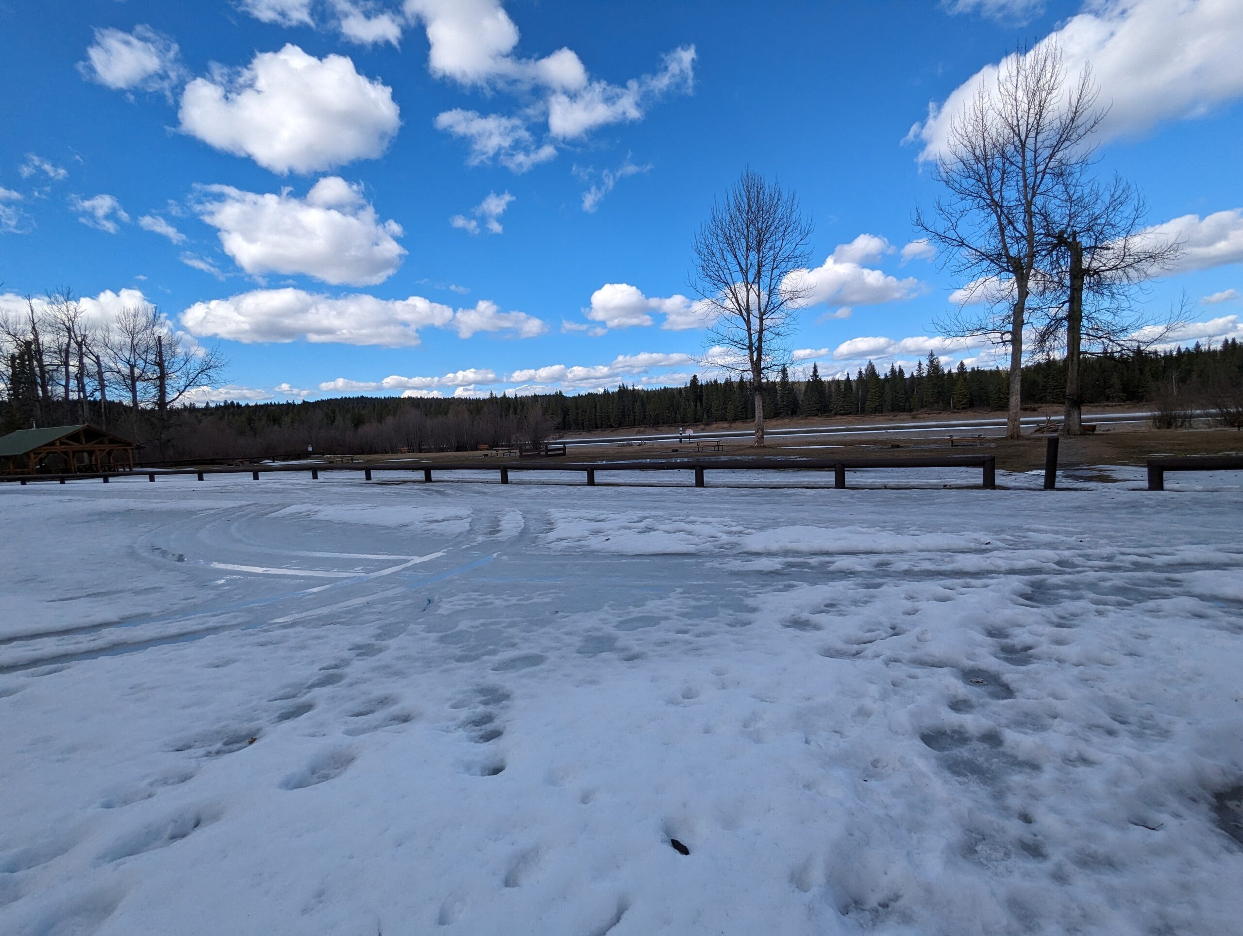
Located on the south side of the Nechako River this park has hiking, swimming, boating, and many other opportunities to offer.
The 57 ha (141 acre) park is located on the Nechako River 15 km west of Prince George. There is a large trail system, mature cottonwood trees, and a picnic shelter with a wood stove. The park also has more picnic tables in an open field, fire pits, a boat launch, and washrooms.
Wilkins Regional Park Map
Directions to trail: here
GPX track: here
Distance: 3.64 km
Duration: 0 hours 50 minutes
Elevation Gain: 69 m
Elevation Loss: 64 m
Elevation Max: 637 m
Elevation Min: 570 m
GPX track: here
Distance: 3.64 km
Duration: 0 hours 50 minutes
Elevation Gain: 69 m
Elevation Loss: 64 m
Elevation Max: 637 m
Elevation Min: 570 m
A full list of trails in Prince George, BC can be found: here
Photos:


Videos:
March 2024: