
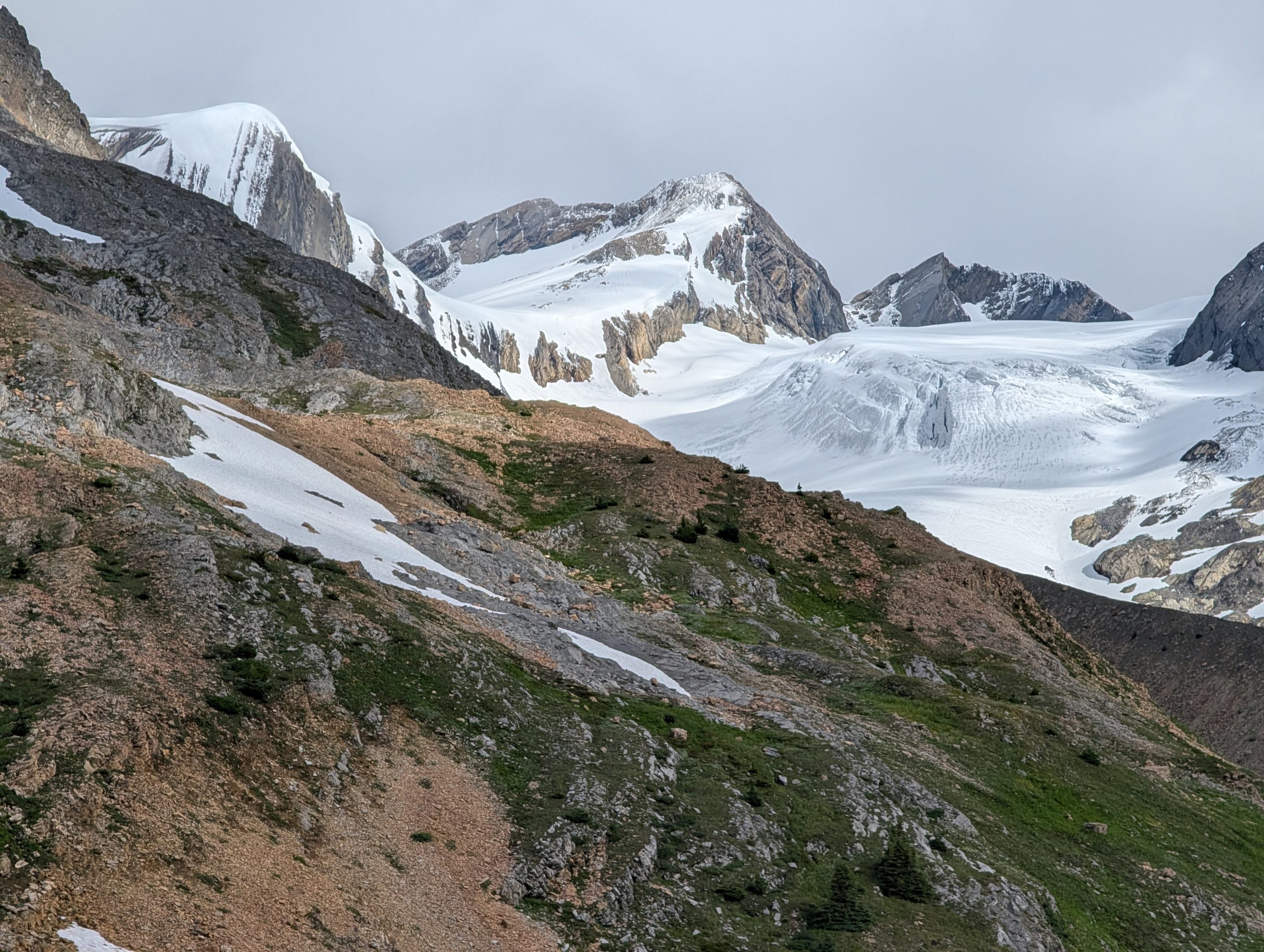

Description:
Over the past few years, Gerald and I have been discussing the Moose River area and have explored it several times, tracking the hikes and exploring into the Respledent Creek valley as well as the upper Moose River area near its connection with the Great Divide Trail (GDT). This summer we decided to make our way up the Moose River Route from its starting point near Moose Lake and follow it to the headwaters of the Moose River, near Moose Glacier, by connecting to the GDT on section F towards Moose Pass. Our goal was to explore the entire route from the previously explored Moose River Route up to the GDT and down the Berg Lake Trail. The following details illustrate our journey.
July/August 2026 multi-day backpacking trip:
Day 1:
We parked one truck at the Berg Lake Trailhead and took a second truck to the Moose River Trailhead (a 35 km drive).

We started our hike from the Moose River Trailhead, hiking into the first horse camp located at Resplendant Creek (16 km).
GPS track: here

Day 2:
We hiked 20 km from the Resplendant Creek to a makeshift camping spot in the Moose River Valley heading towards Moose Pass. The last 3 km of the Moose River Route is not good and is overgrown and non-existent in many places. It is recommended to cross the Moose River and take the Great Divide Trail (GDT) near the Colonel Creek campsite. There is a good camping site another 3.5 km past where we stopped on this day (Steppe Creek camp) that we should have continued to for a better experience.
GPS track: here

Day 3-4:
We hiked 17.5 km from our makeshift camp spot to Calumet Creek camp in Jasper, Alberta, making our way through the beautiful area of Moose Pass and crossing into Jasper Park. We had to hunker down in our tents for the rest of the day and the following day due to rain.
GPS track: here

Day 5:
We hiked 11 km from Calumet Creek campsite to an unnamed peak near Calumet Peak with excellent views of the area. Once we returned to our campsite at Calumet Creek, we continued on our journey to Adolphus Camp for 9 km, where a few fire rings are available to make campfires.
GPS track from Calumet to Adolphus: here


Day 6:
We hiked 25.5 km from Adolphus camp into the Mt Robson Provincial Park trail system and up to Snowbird Pass, looking at Coleman Glacier and Reef Glacier, and returned to Adolphus camp.
GPS track: here

Day 7:
We hiked 26 km from Adolphus Camp in Jasper to the Mt Robson Trailhead in BC to complete our 7-day trip.
GPS track: here

Photos:


