

| 3-day forecast 10-day forecast | Smoke forecast | Avy forecast | |||
| Photo | Trail Name | Hike Date | Trail Status | Comment | Submitted By |
Description:
Holy Cross Mt is located about 12 km drive down the Walker Creek Forest Service Road and stands to the East with a large steep draw coming down the center of its highest point. An old, brushed-in logged road offers about 2 km of access eastward towards the peak, then prepare for some of the worst bushwhacking you have ever experienced.
As you climb steeply toward the first false summit, you will encounter generous amounts of deadfall, devil’s club, alders, rock cliffs, and anything else you can imagine in this theme. Once you arrive at the false summit to a flat open (good camping) spot; the rest of the hike is rewarding, with views, meadows, and a mostly brush-free ascent to the northern face summit.
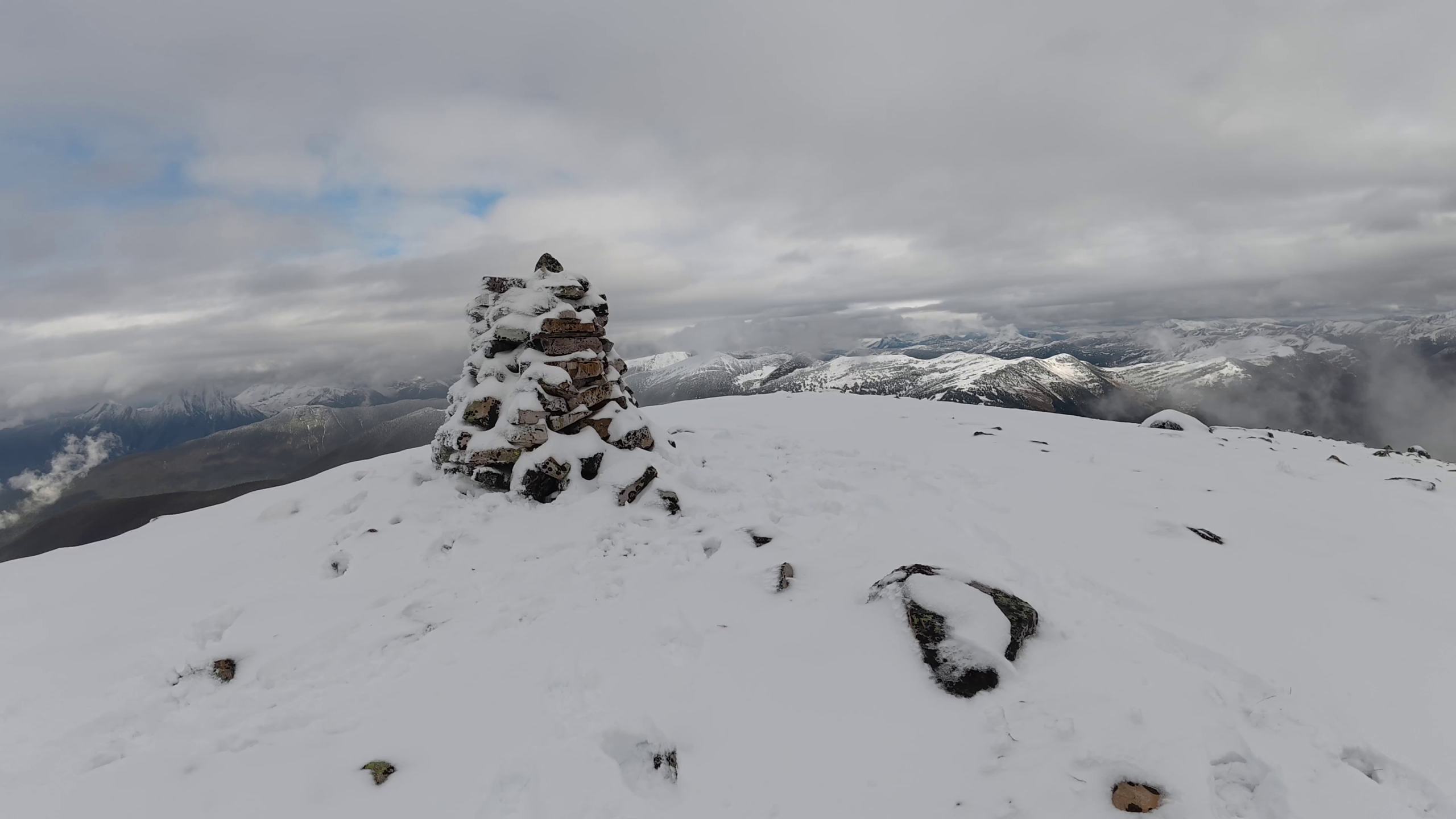
For most people, I would suggest the best plan is to camp somewhere at the first bump or the meadows thereafter; trying to go in and out on this one in the same day can be challenging. The climb up the north shoulder meets a boulder field which has a cruz between a small bump and the final ascent. This crux isn’t too bad, however climbing past it southward toward the summit includes several sketchy sections that require both hands to navigate, leave your pack and trekking poles on the rocky bump before the crux! Once you get past one very sketchy section, the rest of the climb is straight forward with 360 degree views of the area and a large rock cairn.
Difficulty level: Very Strenuous
Stats:
Since this is more of a route, we don’t offer the track, as this hike should only be attempted by very fit, experienced backcountry hikers, where the risk of injury, getting lost, or needing Search and Rescue is higher than in most places.
16 km return
1469 meters ascent
2108 meters max elevation
Photos:


Videos:
Sept 2026: