

| 3-day forecast 10-day forecast | Smoke forecast | Avy forecast | |||
| Photo | Trail Name | Hike Date | Trail Status | Comment | Submitted By |
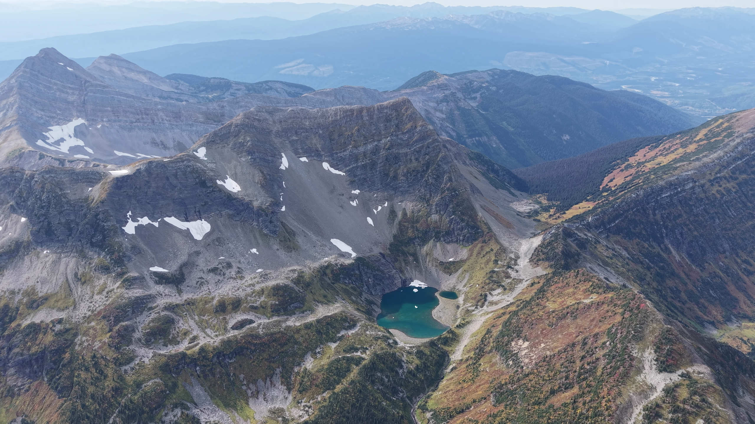
 | Clout Peak near Walker Creek Forest Service Road | 2026-Sep-19 | Variable | Was a very tough slog climbing through deadfall, devils club, alders and every other evil thing you could imagine. This is a bushwhack in its purest form, but the rewards up top are outstanding. | Mark Vejvoda |
Description:
Clout Peak is located about 25 km drive down the Walker Creek Forest Service Road and stands to the East with two prominent, very steep peaks. An old, brushed-in logged road offers about 1.5 km of access eastward towards the peak, then prepare for some of the worst bushwhacking you have ever experienced.
As you climb steeply toward the first false summit, you will encounter generous amounts of deadfall, devil’s club, alders, rock cliffs, and anything else you can imagine in this theme. Once you arrive at the false summit to a flat open (good camping) spot; the rest of the hike is rewarding, with views, meadows, and a mostly brush-free ascent to the western summit.
For most people, I would suggest the best plan is to camp somewhere at the first bump or the meadows thereafter; trying to go in and out on this one in the same day is insanity. There looks to be plenty of opportunity for mountain climbers to try the main Clout Peak, or hikers have plenty of options in the valley’s below to explore the beautiful basins, but plan carefully beforehand as assuming access in this area is a bad idea due to steep cliffs and terrain.
Difficulty level: Very Strenuous
Stats:
Since this is more of a route, we don’t offer the track, as this hike should only be attempted by very fit, experienced backcountry hikers, where the risk of injury, getting lost, or needing Search and Rescue is higher than in most places.
12 km return
1370 meters ascent
2076 meters max elevation
Photos:


Videos:
Sept 2026: