
| 3-day forecast 10-day forecast | Smoke forecast | Avy forecast | |||
| Photo | Trail Name | Hike Date | Trail Status | Comment | Submitted By |
| Pilot Mountain Trail in Pilot Mountain BC | 2026-May-27 | Dry | Trail is clear and dry but bugs are out in full force so dress appropriately or donate blood, your choice! | Mark Vejvoda | |
 | Pilot Mountain Trail in Pilot Mountain BC | 2026-Feb-28 | Snowshoe Packed | PAcked the trail to the first lookout, then down to the cave, then up the bushwack gulley from the cave back to the road, and then to the top picnic table! | Mark Vejvoda |
| Pilot Mountain Trail in Pilot Mountain BC | 2026-Jan-10 | Snowshoe Packed | A beautiful day snowshoeing Pilot Mountain ..winter wonderland ! | ||
In this adventure, we hike up Pilot Mountain in Northern BC, 15 minutes northwest of Prince George, BC.
This is a relatively easy/short hike (easier than Teapot Mountain in my opinion) and is very close to the city limits of Prince George, BC. Hikers can start at the trailhead and head up the cell tower access road then choose to enter the forest after the first clearcut on the left (ribbons show this location) or for an easier hike to the summit, the access road can be followed all the way to the top. There is a cell signal all of the way as there are numerous cell towers at the summit of Pilot Mountain, but watch out for bears that frequent the area.
GaiGPS track for the trail: here
Directions to the trailhead: here
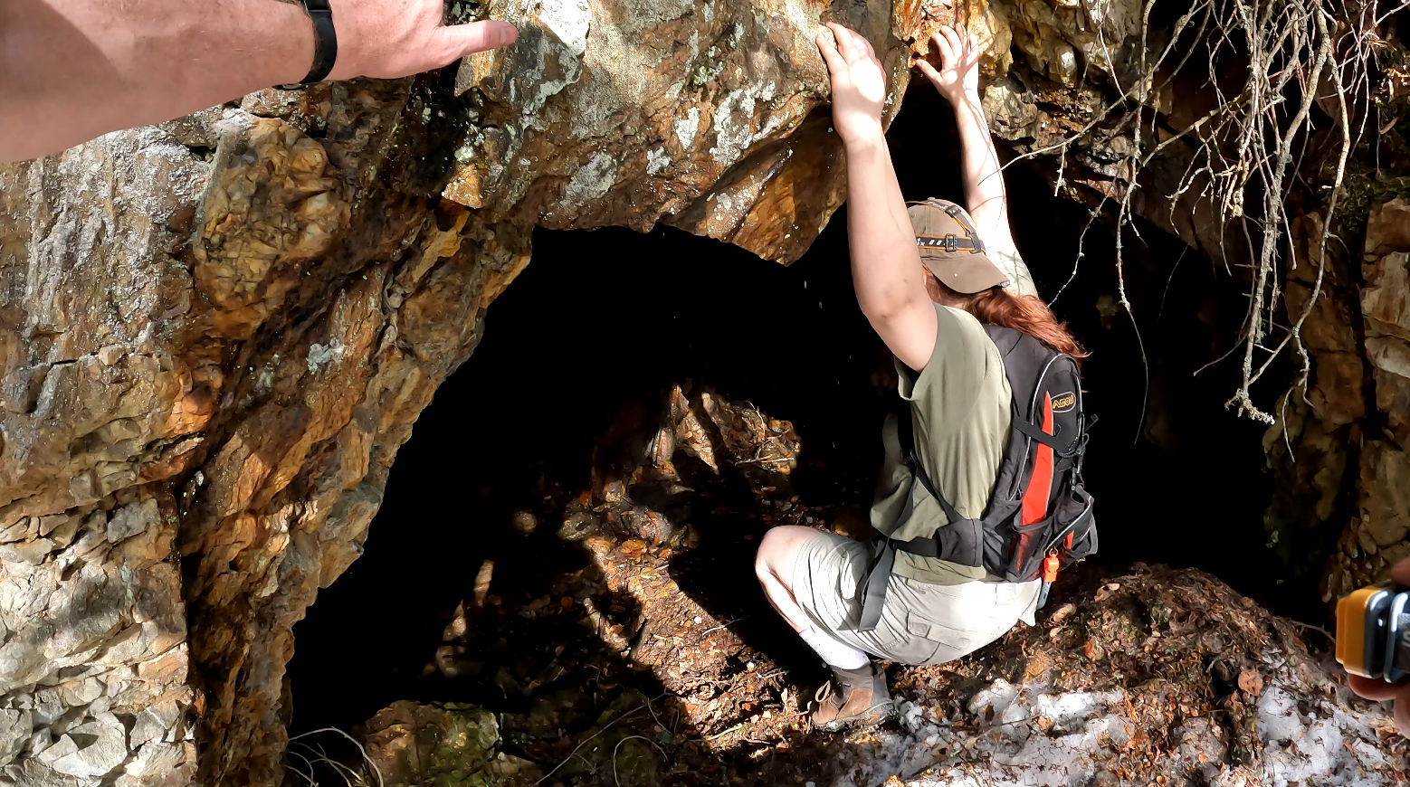
The Cave is located at this GPS Location: 54.04457, -122.89164
Driving directions to the trailhead: here
Video showing the drive to the trailhead starting on Pilot Mt Road:
Difficulty: Easy
Distance: 3.82 km
Ascent: 190 meters
Max elevation: 983 meters
Moving Time: 1 hour 9 minutes
Total Time: 1 hour 21 minutes
Photos:


Video:
April 2025:
April 2024: