
| 3-day forecast 10-day forecast | Smoke forecast | Avy forecast | |||
| Photo | Trail Name | Hike Date | Trail Status | Comment | Submitted By |
 | Boulder Mountain near Crescent Spur BC | 2026-Jun-22 | Variable | The trail was mostly dry until several hundred meters from the first meadows in the bowl. As we approached we encountered pockets of snow and eventually past the meadows snow was mostly steady, however the ridge walking up top was clear of snow on the south face. We did not bring snowshoes and it was ok going. | Mark Vejvoda |
 | Boulder Mountain near Crescent Spur BC | 2026-Jan-21 | Snowshoe Packed | Trail conditions were absolutely perfect. Crusty snow meant walking mostly on top of the crusty layer. We were able to do an afternoon summit, just before the sun set, get out there while conditions are this great! | Mark Vejvoda |
 | Boulder Mountain near Crescent Spur BC | 2026-Jan-04 | Snowshoe Packed | We snowshoe packed within 100 meters of the meadows, this was one of the most brutal snowshoes i've ever done as the snow was deep the whole way and breaking trail was very hard, but rewarding and fun! | Mark Vejvoda |
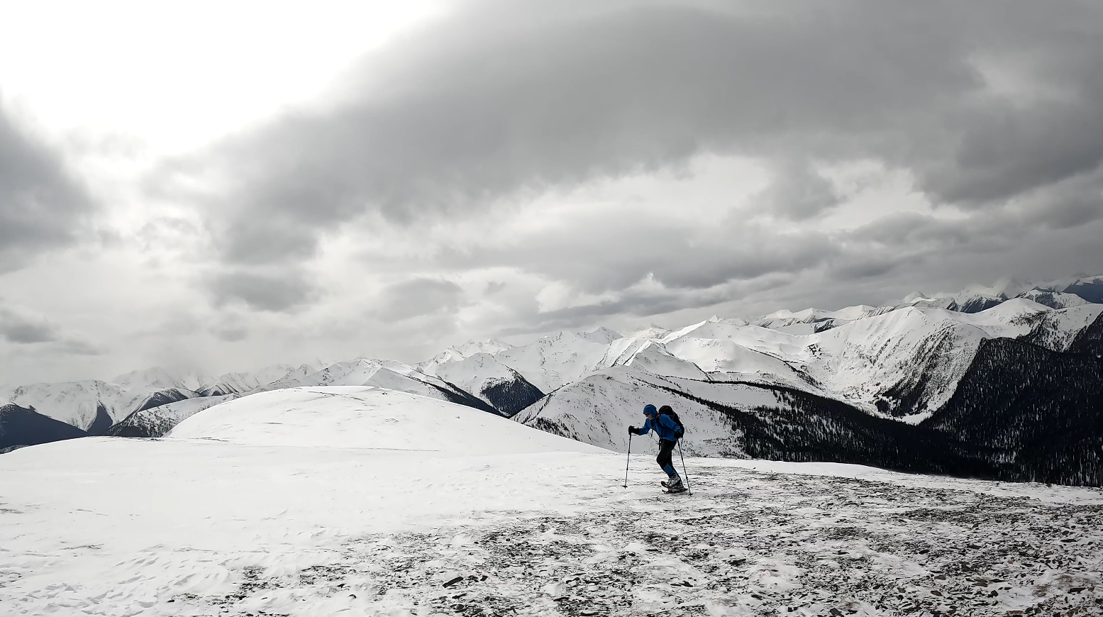
This hike was up Boulder Mountain in Northern BC, East of Prince George.
The trail is about a 2-hour drive down Highway 16 from Prince George (just past the Zig Zag Ridge trail) and turns down the Goat River Forest Service Road. There are currently no signs showing the trailhead but you should drive about 1.5 km down the Goat River FSR and look for an open area with the trail starting on the left (see the video below showing the road and trailhead). There is no cell signal until you approach the summit and then you may get some signal from the Longworth Mt direction. Water sources exist most of the way up until you reach the subalpine.
GaiGPS track: here
Directions from Prince George BC to the trailhead here (the Goat River Forest service road is NOT plowed in winter so you must start your hike from Highway 16 in winter): here
Difficulty: Strenuous
Distance: 14.9 km
Ascent: 1239 meters
Max elevation: 2086 meters
Moving Time: 4 hours 45 minutes
Total Time: 5 hours 9 minutes
Photos:


Videos:
June 2026:
Jan 2026:
March 2025:
April 2024:
April 2023:
July 2022:
April 2022: