
| 3-day forecast 10-day forecast | Smoke forecast | Avy forecast | |||
| Photo | Trail Name | Hike Date | Trail Status | Comment | Submitted By |
| Eskers Provincial Park in Ness Lake BC | 2026-Jan-03 | Snowshoe Packed | Eskers long trail | ||
 | Eskers Provincial Park in Ness Lake BC | 2025-Nov-25 | Dry | The trail was dry with a small dust of snow that is hardly noticeable. We hiked 14 km to Camp and Kathy Lakes then back for the full 'friendship' loop | Mark Vejvoda |
| Eskers Provincial Park in Ness Lake BC | 2025-Jul-21 | Dry | Nice hike in Eskers today! Was a warm one and mosquitoes were thirsty if you stopped for too long so that kept you motivated to keep moving!! | ||
Description:
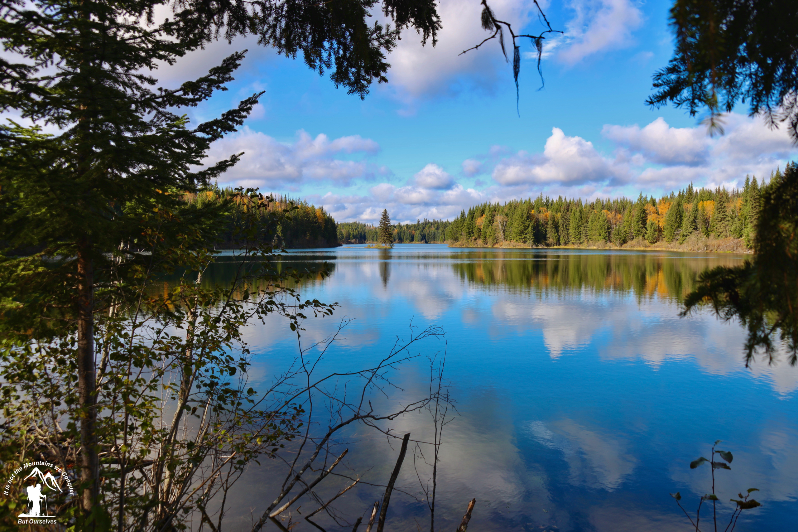
Eskers Park is a day-use park located 40km northwest of Prince George. Encompassing 3,979 hectares of gently rolling terrain and many small lakes, the park conserves a portion of the 40km long Stuart River Eskers Complex. These unique landforms, for which the park is named, are long sinuous gravel ridges. They were created when sand and gravel were deposited in the meltwater channels of ancient glaciers that once blanketed this northern region.
Some sections of this trail system are accessible by wheelchair, but this is not consistent throughout the park, and there may be some difficulty getting onto the viewpoint with decking, as entry onto the deck is not usually flat.
Stats:
GPX track: here
Distance: 14.55 km
Duration: 3 hours 13 minutes
Elevation Gain: 217 m
Elevation Loss: 200 m
Elevation Max: 823 m
Elevation Min: 751 m
History:
Click here to read about the history of this trail
Photos:


Videos:
May 2024: