
| 3-day forecast 10-day forecast | Smoke forecast | Avy forecast | |||
| Photo | Trail Name | Hike Date | Trail Status | Comment | Submitted By |
Description:
This trail is mentioned in the BC backcountry map book as the Lemoray Lakes ‘Donkey Trail’
As of June 2025, we have cleared the donkey trail up to the upper meadows and backpacked into the Lemoray Lakes.
We were featured in the local news for this trail work: here
Highway 16 to the turnoff road at Heart Lake: here
Turn off the road at Heart Lake to the parking area: here
Pine Pass LeMoray Lakes Map
Stats:
GPS Tracks can be found below:
Parking area to Lemoray Lake #2: here
Hike from Lake #2 to the Summit overlooking Heart Lake: here
GPX track: here
Distance: 8.21 km
Duration: 1 hours 44 minutes
Elevation Gain: 18 m
Elevation Loss: 766 m
Elevation Max: 1,429 m
Elevation Min: 681 m
Distance: 8.21 km
Duration: 1 hours 44 minutes
Elevation Gain: 18 m
Elevation Loss: 766 m
Elevation Max: 1,429 m
Elevation Min: 681 m
History:
Click here to read about the history of this trail
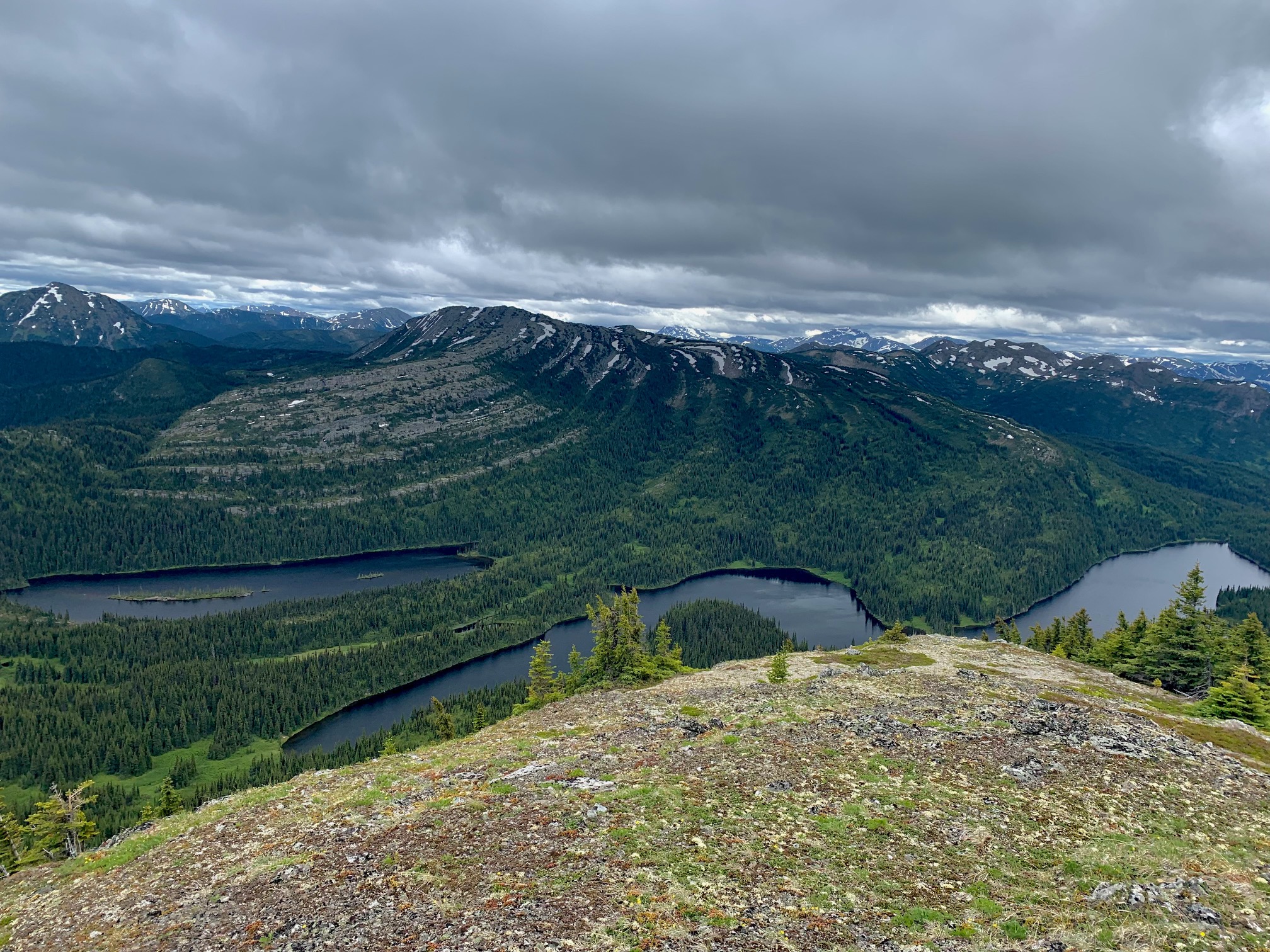
Photos:


Videos:
June 2025:
Multiday trip
Trail clearing
May 2025:
Hello! My name is Matthew Hillier and I’m a reporter for the Prince Geroge Citizen. I saw your post on Facebook about exploring/reconnecting the old horse trail in the Pine Pass, that hasn’t seen any activity in nearly 20 years. I think this is a very interesting story and I would love to do an interview with someone involved with this! Thank you for your time and I look forward to hearing from you!