
| 3-day forecast 10-day forecast | Smoke forecast | Avy forecast | |||
| Photo | Trail Name | Hike Date | Trail Status | Comment | Submitted By |
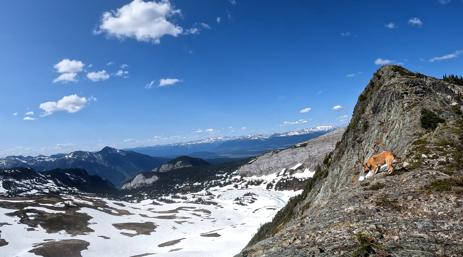
This trail is about 2 hours drive from Prince George, BC. We decided to try something different and see if we could summit Fang Mt in early June which is usually not possible using the Fang Trail due to high water and snow conditions up that part of the trail. We mapped out a potential route up the Torpy trail and crossover to the Fang Ridges. I got the idea from Craig Evanoff during an AST1 course (https://www.dezaikoalpine.com/) that he led in this same area last winter and the result was pure success! There are water sources for most of the hike up as you cross creeks a number of times. I did have a cell signal but only near the summit where we had a clear point of view towards Longworth Mt. It is possible to hike up Torpy to the meadows and then hike down the Fang Mt trail (requires 2 vehicles or a bike dropped off at one trailhead).
Evanoff Provincial Park: https://bcparks.ca/evanoff-park/
GaiGPS track for doing both Fang and Torpy summits: here
Directions to the trailhead: here
Distance: 10.77 km
Elevation Gain: 982 m
Elevation Loss: 961 m
Elevation Max: 1,951 m
Elevation Min: 980 m
This video shows the drive from the Pass Lake forest service road to the Torpy Trailhead:
Photos:


Videos:
June 2024:
March 2024:
June 2023
Comments
Comments are closed.