
| 3-day forecast 10-day forecast | Smoke forecast | Avy forecast | |||
| Photo | Trail Name | Hike Date | Trail Status | Comment | Submitted By |
| Baldy Mountain near Longworth BC | 2026-Jun-21 | Variable | Baldy. Solstace. Bad bugs between 3800' and 5600'. | ||
 | Baldy Mountain near Longworth BC | 2026-Jun-17 | Variable | The road to Baldy (Fraser Flats) It's open. They're working back in there, however CN requires it locked when contractor is not working in the area as per the crossing agreement. Likely open during the week while they are working but may be closed on weekends or longer periods when the contractor is not actively working. Best to expect it to be locked on the weekends just in case | |
Description:
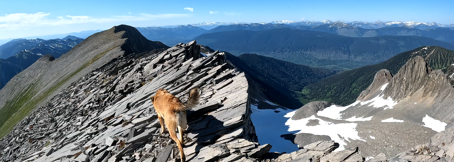
The trailhead is about 2 hours drive from Prince George, BC. There is virtually no water on this trail, except for a sometimes non-existent water hole a little over 1/2 way up, as shown in the video. The last 2 times I hiked this trail, we got flat tires on this road, so be prepared for that, as the rocks are larger and sharper on this section of the logging road past Longworth BC. There is no cell service at lower elevations, but you may get a signal as you approach the summit. This is one of the hardest hikes in the area as it climbs most of the trail steeply and requires a lot of route finding, as the trail can be easily lost from time to time. Trail markers do exist from the trailhead to 3/4 of the way up to the sub-alpine. This trail should only be hiked if you have a good amount of backcountry experience, or you are hiking with a person who has such experience or knows the trail well.
We did add flagging on some alders at the trailhead, which should be visible from the road (on the north side of the road facing Baldy)
Directions to the trailhead:
Prince George to Longworth: here (google maps)
Longworth to Baldy Trailhead: here (gaigps)
Picture of parking and the trailhead:


Stats:
GaiGPS: here
GPX File: here
Difficulty: Very Strenuous
Distance:14.7 km
Ascent: 1420 meters
Max elevation: 2094 meters
Moving Time: 6 hours 50 minutes
Total Time: 7 hours 46 minutes
History:
Click here to read about the history of this trail
Photos:


Videos:
June 2024:
June 2023:
Oct 2022: