
| 3-day forecast 10-day forecast | Smoke forecast | Avy forecast | |||
| Photo | Trail Name | Hike Date | Trail Status | Comment | Submitted By |
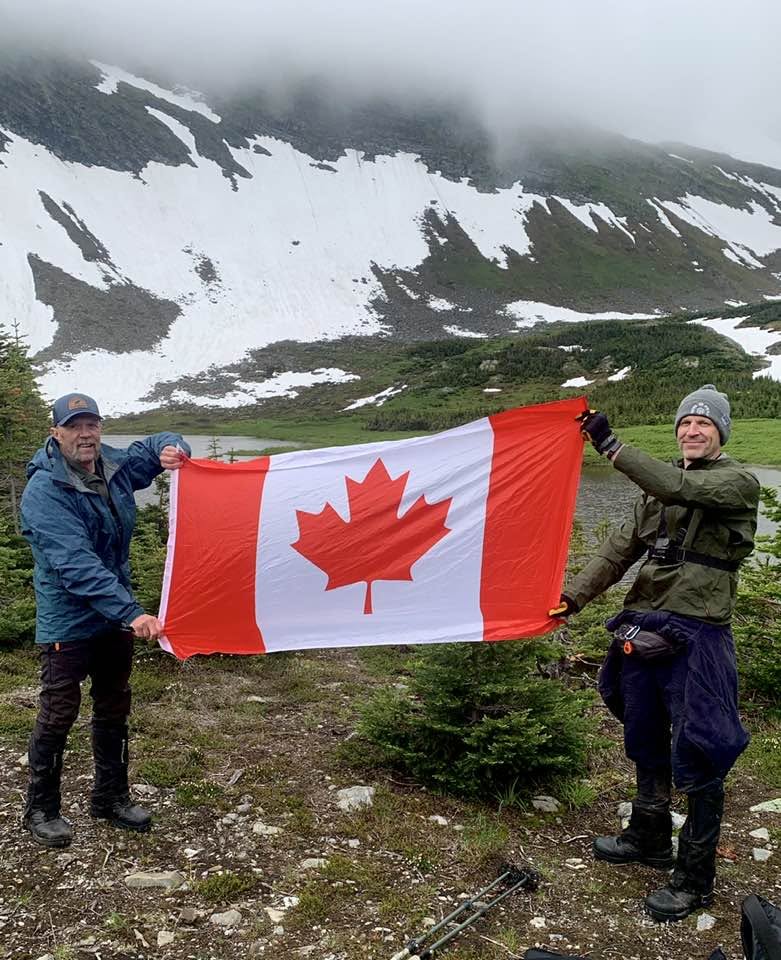
 | Mt Stephenson Trail near Chetwynd BC | 2026-Jul-01 | Variable | Trail was quite wet from the recent rain and sections of snow were encountered in a few spots in the alpine, only 1 section climbed was a bit slippery due to the snow and the angle of the slope, micro spikes recommended, otherwise its a great hike and most areas were snow free. | Mark Vejvoda |
Description:
Warning: This is not a developed trail, but rather a route. It is only suitable for strong, experienced hikers with good route finding skills.
This route follows a seismic line into the alpine, to a beautiful view of an alpine lake with Mt. Stephenson in the background. Once at the lake, there’s lots of opportunities for alpine travel such as ridge walking, hiking to the summit, etc.
For the most up-to-date information, check out the Chetwynd Outdoors Society website
Difficulty level: Moderate to Strenuous depending on routes taken
Directions to the Trail: here
Stats:
Distance: 8.88 km
Elevation Gain: 651 m
Elevation Loss: 638 m
Elevation Max: 1,775 m
Elevation Min: 1,305 m
History:
Comming soon..
Photos:


Videos:
July 2026