
| 3-day forecast 10-day forecast | Smoke forecast | Avy forecast | |||
| Photo | Trail Name | Hike Date | Trail Status | Comment | Submitted By |
| Carrier Grease and Alexander MacKenzie Heritage Trail | 2026-Apr-03 | Variable | The trail was mostly clear, we didn't need snowshoes or micro spikes but some sections could use micro spikes for those with poor balance. | Mark Vejvoda | |
Description:
The Blackwater Canyon area, located near the Blackwater River Crossing Recreation Site south of Prince George, BC, offers beautiful views of the Blackwater River with options for short out-and-back hikes (around 3-4 km) or longer loops (like the 11 km loop), connecting to the Alexander Mackenzie Trail network, featuring river access, sandbars, and some overgrown sections, requiring caution for mud/ice but improved with new boardwalks.
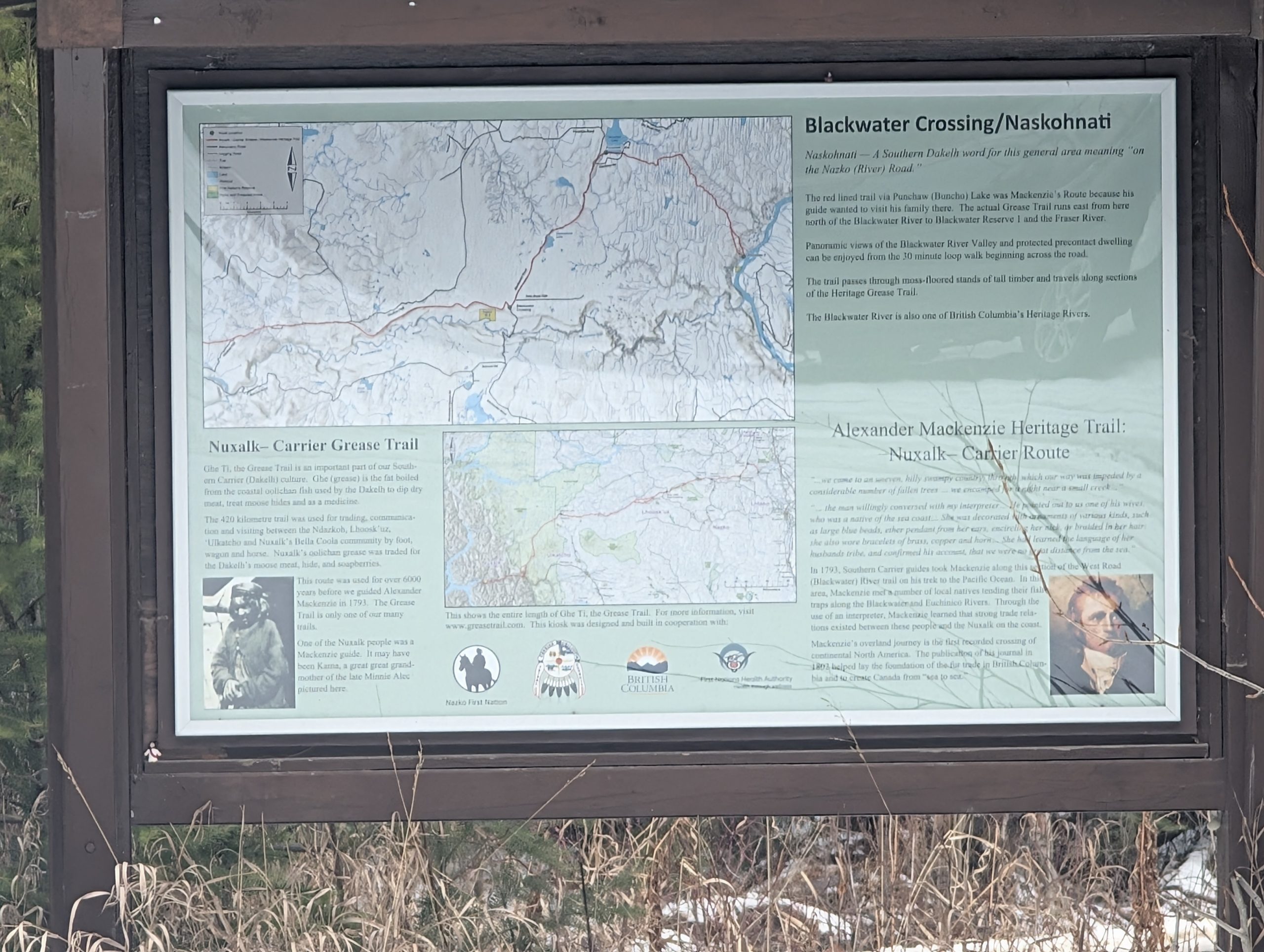
One section of this area, called the “Carrier Grease and Alexander MacKenzie Heritage Trail”, connects the Blackwater Road and/or the Blackwater Canyon Trail to the Fraser River eastward, as well as connecting to the Collins Telegraph trail westerward. The rich history surrounding this area should not be underestimated, as this route was used by many as a major travel route between the Fraser River and the Pacific Ocean in the Bella Coola area.
The Trail system has many connection points from the ‘Grease Trail’, you can go north on the Blackwater road to the Alexander MacKenzie Heritage trail north (near Punchaw Lake). You can take the Grease Trail eastward and connect to either the Westroad River Heritage Trail, which takes you all the way to the Fraser River, or you can drop down onto the Blackwater Canyon Trail and loop back towards the Blackwater Road. Heading westward from the Grease Trailhead, the trail continues west and links to the Collins telegraph trail, and continues westward to Bella Coola.
Difficulty level: Easy to Strenuous, depending on the routes taken, and the stats below are 1 way (not return)
Directions to the Trail: here
Stats:
Distance: 21.72 km
Elevation Gain: 242 m
Elevation Loss: 346 m
Elevation Max: 803 m
Elevation Min: 626 m
History:
Click here to read about the history of this trail
Photos:


Videos:
April 2026
Understanding the Trail network near Blackwater River: