
| 3-day forecast 10-day forecast | Smoke forecast | Avy forecast | |||
| Photo | Trail Name | Hike Date | Trail Status | Comment | Submitted By |
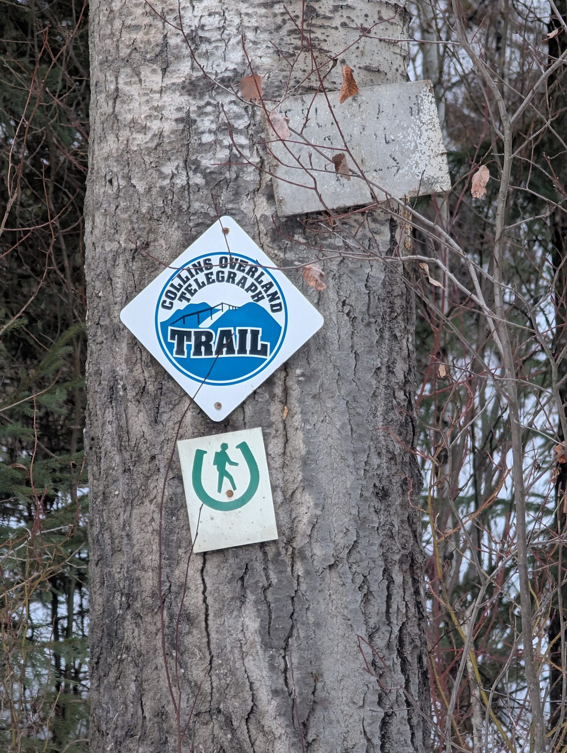
 | Collins Overland Telegraph Trail | 2026-Feb-07 | Variable | The trail was mostly clear with sections having very slippery ice and some snow. Microspikes are definitely recommended. We hiked 10 km (20 km round trip) and conditions we surprisingly clear for February | Mark Vejvoda |
Description:
The Colins Overland Telegraph Trail, located near the Blackwater River Crossing Recreation Site south of Prince George, BC, offers beautiful views of the Blackwater River with options for short out-and-back hikes (around 3-4 km) or longer hikes as the trail leads all the way to the Pacific Ocean near Bella Coola, connecting to the Alexander Mackenzie Trail network, featuring river access, sandbars, and some overgrown sections, requiring caution for mud/ice but improved with new boardwalks.
The Collins Overland Telegraph Line was the first overland telegraph system in Western Canada. The section of telegraph line north of Quesnel was abandoned, but the trail was used as an overland route during the northern gold rushes and for supplying the Hudson Bay Company stores. In 1953, Dwight Dodge of Quesnel and others started preserving segments of the trail. The Blackwater Rd follows the overall direction and route of the trail. There are bypasses around the Blackwater Rd.
Directions to the Trail (leading west of Blackwater Road) are similar to the Blackwater Canyon Trail, which begins at the junction of the Blackwater Road and Blackwater River, but the trail is on the west side of Blackwater Road, just north of the bridge: here
To get to the Trail leading east (and south towards Quensel), go to the junction of the Blackwater Road and Blackwater River, just south of the bridge on the East side of the road: here
Stats:
Difficulty level: Easy to Strenuous, depending on the routes taken
GPX track: here
Distance: 22.31 km
Elevation Gain: 262 m
Elevation Loss: 247 m
Elevation Max: 828 m
Elevation Min: 630 m
History:
Click here to read about the history of this trail
Photos:


Videos:
Feb 2026
Understanding the Trail network near Blackwater River: